Canadian firm ranks three California cities among the US top ten
(Photo: Gretchen Weber)
The new ranking places San Francisco at number one because of its “political leadership and commitment” in the fight against climate change, according to the study’s author, Boyd Cohen of CO2 Impact, a Vancouver-based carbon offsets company. The city also has a “proactive” university community, lots of active clean-tech investors, and the largest number of LEED-certified buildings per capita in the country, he said.
An engrossing one-stop shop for California’s climate future goes online
If you’re like me, and you spend a good part of every day thinking about climate change and California, you may have already lost yourself in the treasure trove of climate data and mapping fun that is Cal-Adapt, a comprehensive series of online tools just released by the California Natural Resources Agency and the California Energy Commission.
And if you’re not like me, it’s still worth checking out.
Built by UC Berkeley’s Geospatial Innovation Facility, Cal-Adapt is designed to aid local and regional planners in preparing to adapt to climate change by providing scientific data from institutions like Scripps Institute of Oceanography, U.S. Geological Survey, UC Merced, and the Pacific Institute, and integrating it with mapping and charting capabilities from Google. The result is an attractive, interactive experience that enables you to view potential future climate-related scenarios for any location in California, and to sort by topics such as sea level rise, wildfire, and snowpack. Importantly, data sources are prominently displayed. Continue reading Visualizing California Climate Change→
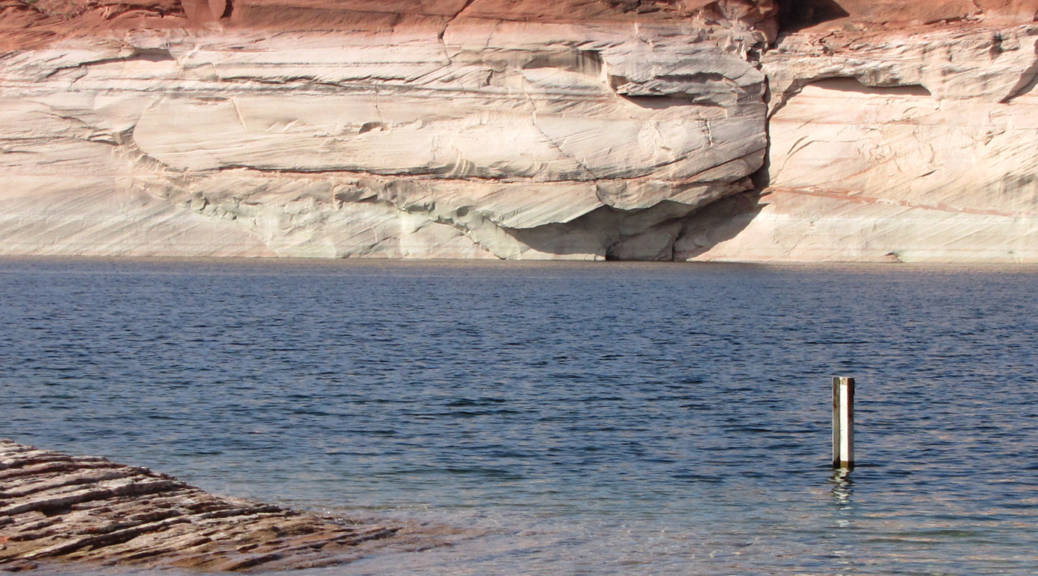
A new federal study says the Colorado River may carry 9% less water by 2060.
The Colorado River is a critical source of water for more than 30 million people throughout the western United States. California alone gets more than a trillion gallons of water each year from the Colorado. But over the years, recurring droughts and the growing demands of urban populations have stressed the river system, which the Bureau of Reclamation now characterizes as “over-allocated.” In efforts to plan for the region’s future water needs, the agency, in collaboration with Western states, has undertaken a two-year study to look at what lies ahead for the river and the cities, farms, and families that rely on it.
On Monday, the agency released the first interim report of the “Colorado River Basin Water Supply & Demand Study,” which projects changes in the river’s flow under four different scenarios. A model that incorporates predicted impacts of climate change shows a nine percent reduction in the Colorado’s flow within 50 years. The study also projects more frequent and more severe droughts throughout the system. Continue reading Running Drier: The Colorado 50 Years Out→
California is likely to suffer more than any other state from worsening air pollution due to climate change by the end of the decade, according to a new study from the Union of Concerned Scientists (UCS).
So…if Bay Area transit is so good, why don’t more people use it?
(Photo: Craig Miller)
A new study from the Brookings Institution finds that compared with the rest of the nation, the Bay Area offers pretty good public transportation options.
Among 100 major metropolitan areas, San Francisco-Oakland-Fremont ranks 16th, and San Jose-Santa Clara-Sunnyvale ranks second. Areas were ranked according to how accessible transit is to riders, how long it takes to get to work on transit and how often the systems run during rush hours.
So…if Bay Area transit is so good, why doesn’t anybody seem to take it?
Just one out of ten people in the Bay Area commute by public transportation, according to John Goodwin of the Metropolitan Transportation Commission. He says that number hasn’t changed much over the years, despite huge investments in the system. And the Bay Area isn’t alone in that. A recent study by the Public Policy Institute of California (PPIC) found that between 1990 and 2008, the share of commuters taking transit increased by less than one percentage point, from 5% to 5.5%, despite the construction of 217 new rail stations, and the fact that more than a third of California’s transportation spending since the early 1980s has gone to public transit. Continue reading High Marks but Few Takers on California Transit→
Flooding along San Francisco’s Embarcadero during an extreme high tide in February. (Photo: Heidi Nutters/Flickr)
Even if the world stopped emitting all greenhouse gases today, scientists say, the climate would continue to change, perhaps for centuries, before it stabilized. Since a zero-emissions world is unlikely, to say the least, and considering that global carbon emissions are continuing on their upward trend, finding ways to adapt to what many see as inevitable is getting more and more attention.
The San Francisco Planning and Urban Research Association (SPUR), a local think tank focused on sustainable growth, has just released a 40-page report that outlines the Bay Area’s biggest climate risks and lays out a road map for how communities can start preparing.
Melting snow and ice near the Arctic National Wildlife Refuge last June (Photo: Gretchen Weber)
Australia’s Chief Climate Commissioner, Tim Flannery, stopped by KQED this morning for an appearance on Forum, the station’s live call-in program. He spoke about the status of international climate agreements and expressed hope for the process, which is not something I came across very often as a reporter at the UN climate talks in Cancun last December.
Researchers say sea levels haven’t been rising along the West Coast of North America for decades, but that could be about to change, according to a new study.
Researchers at Scripps Institution of Oceanography say they’ve observed changing wind patterns that, if persistent, could soon speed up sea level rise along California’s shores.
Global sea level rise averaged about two millimeters per year throughout much of the 20th century and then accelerated to 3 millimeters per year in the 1990s, said researcher Peter Bromirski. But along the West Coast, he said, sea levels have been steady since about 1980.
Snowy trees in Truckee, CA, in February 2011. (Photo: Lauren Sommer)
Surveyors from the Department of Water Resources strapped on their skis today and headed out to measure the status of the Sierra snowpack for the fifth and final time this season. As expected, they reported good news for the state’s water supply.
It’s been a big year for the snowpack – the biggest since 1995 – and the snow’s water content is about 180% of what’s “normal” for early May. The spring melt has already begun, so there’s less snow than there was month ago. Historically, early April is when the snowpack is at its peak, as it was this year. And yet, the current water content of the snowpack is still 50% higher than the historic average for April first.
All this water has prompted officials to project water deliveries of 80% of requests from farms and towns served by the State Water Project this year. That’s the highest percentage since 2006. Last year just 50% was delivered.
The San Francisco-based conservation organization has teamed up with the biodiversity-tracking social networking site to create an iPhone app exclusively for monitoring redwood and giant sequoia forests. It’s called Redwood Watch. It uses the same technology as the iNaturalist iPhone app, aggregating data on a special Redwoods page within iNaturalist.org.
“We hope that this will help us have a better idea of where redwoods are, and then we can use that data to understand what kinds of conditions they can tolerate,” said Emily Limm, director of science and planning for Save the Redwoods. Continue reading Saving Redwoods: There’s an App for That→


")
