New technology could provide a much clearer picture for water forecasts

In California, where most of our water comes from the mountains, being able to accurately measure the snow pack is vital. And it is in outlier years like this — very dry years, though the same goes for very wet ones — when water managers have the hardest time making accurate predictions.
“Knowing the water content of the snow in an entire watershed is the holy grail for snow scientists,” survey guru Frank Gehrke told me.
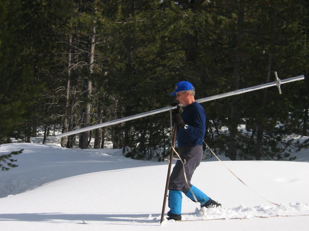
During the winter, Gehrke trudges into the woods on a monthly basis to do manual snow surveys for the state Department of Water Resources. DWR uses remote snow sensors, too. But even with all that data we don’t get an exact picture of the snow pack. So scientists from National Center for Atmospheric Research (NCAR) and NASA Jet Propulsion Laboratory (JPL) are developing tools to measure snow with lasers. This new technology has the potential to be that holy grail that Gehrke’s looking for.
At NCAR, scientist Ethan Gutmann is working on a stationary laser instrument. His prototype in the Rocky Mountains is installed on a pole in a snowfield. It sends out light pulses, which bounce off the snow and back to the instrument, which then measures the depth of the snow based on the time it takes for the light to come back. The tool isn’t measuring snow on a watershed-scale yet, but Gutmann says that’s a matter of cost, not of technology.

“The laser system is expensive, but easy to use,” he told me. He’s hoping as the technology improves, these kinds of tools will become more affordable; water agencies will be able to install the stationary instrument in snow fields and get results in real time.
Here in California, DWR is working with JPL on developing the technology to measure snow with lasers from airplanes. These airborne surveys don’t provide the accuracy and continuous data that the stationary tool provides, but they will be able to measure a much larger area. There’s preliminary work now on the Upper Tuolumne River Watershed, which feeds the Hetch Hetchy reservoir. Gehrke says the need baseline measurements without snow, so they’re planning prototype flights in late-July, then plan to fly over the snow beginning in 2013.
There are drawbacks to lasers. They can’t see through most trees, so the technology is most effective above the treeline (the highest elevation where large trees grow). And lasers can only measure the depth, not the water content, of snow. Gutmann said that’s not a deal-breaker, since depth measurements will be so much more accurate than they are now, over a larger area. The key for Gehrke will be combining the technologies. He told me the stationary and airborne lasers complement each other, and when combined with the tools he’s already using, he’ll get a better picture of the snow pack than ever before.
