An engrossing one-stop shop for California’s climate future goes online

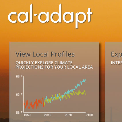
If you’re like me, and you spend a good part of every day thinking about climate change and California, you may have already lost yourself in the treasure trove of climate data and mapping fun that is Cal-Adapt, a comprehensive series of online tools just released by the California Natural Resources Agency and the California Energy Commission.
And if you’re not like me, it’s still worth checking out.
Built by UC Berkeley’s Geospatial Innovation Facility, Cal-Adapt is designed to aid local and regional planners in preparing to adapt to climate change by providing scientific data from institutions like Scripps Institute of Oceanography, U.S. Geological Survey, UC Merced, and the Pacific Institute, and integrating it with mapping and charting capabilities from Google. The result is an attractive, interactive experience that enables you to view potential future climate-related scenarios for any location in California, and to sort by topics such as sea level rise, wildfire, and snowpack. Importantly, data sources are prominently displayed.

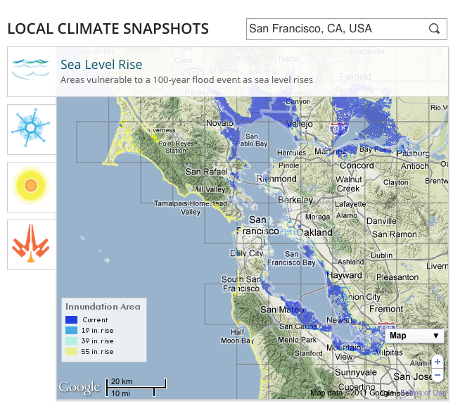
One tool allows you to quickly see climate projections for their regions. The map above shows the parts of San Francisco Bay Area that are vulnerable to flooding today and those that are projected to be vulnerable by 2100 as sea levels rise.
Another tool uses a slider control to animate a map showing changes in the Sierra snowpack since the 1950s and projections through 2100.

Alongside these and other maps are additional information, links to resources, and an explanation of where the data for the maps came from. There are also tools that graph the data for particular locales, time periods, and climate scenarios. Future plans include community-building features like an “Ask the Experts” section and a repository for historic photos documenting landscapes.
“People have to think differently,” said California Secretary for Natural Resources John Laird during an webinar introducing Cal-Adapt on Tuesday. “They have to understand that the climate is changing, and they have to adapt, and when they are making planning decisions they have to think about how things will look in 50 or 100 years. This tool will help with that.”
