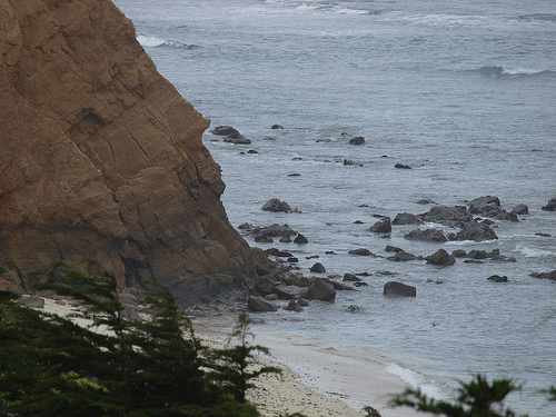
This week, seasonal high tides, known as “King Tides” will roll into the Bay Area, providing a preview of what the region might face if sea level rises over the coming decades as predicted.
So the organizers of the Bay Area King Tide Photo Initiative want you to grab your camera and help document the tides. The San Francisco Bay National Estuarine Research Reserve (NERR) has set up a Flickr site for the photos, where participants can upload their “before, during, and after” shots.
Organizers say the idea is to:
1. Identify and catalog coastal areas currently vulnerable to tidal inundation; and
2. Gather compelling graphics and pictures, so we can promote awareness of the specific potential impacts of sea level rise on the region to support climate change mitigation and adaptation.
Sea levels have risen about eight inches in the last century, and the San Francisco Bay Conservation & Development Commission (BCDC) advises planners to prepare for a sea level rise of about 16 inches by mid-century and 55 inches by 2100. A rise like that could inundate 41 square miles of coastal land according to a 2009 Pacific Institute study.
Upcoming extreme high tides are expected to occur on January 19th (tomorrow) and 20th and on February 16th-18th.
In addition to NERR and BCDC, partners in initiative include the National Marine Sanctuaries, NOAA, the National Weather Service, and the California Coastal Commission. For more about how to participate, see the project website.
5 thoughts on “King Tides Could Preview Sea Level Rise”
Comments are closed.

I’m adjacent to Alhambra Creek (at the beaver dam) and we are subject to flooding. So, we watch tide tables closely during the winter. We have three days with 6+ tides,but this is not unusual. So, king tides in Martinez, so what.
Steve, you will experience a much greater frequency than three days with 6+ tides with sea level rise. This increased frequency also means increased likelihood of such a tide coinciding with a storm surge and causing further inundation. Combine these more frequent extreme tide events and storm surge and infrastructure will be put under significantly greater strain (i.e. water pipes, septic, building foundations). This photo initiative is not meant to be a cause for alarm, but rather a way to engage the public to visualize at a local scale projected scenarios for sea level rise in the future.
Jason
I think you should do a little fact check. Current rates of sea level rise is 2mm per year or about 8 inches per century. The prediction of 16 inch rise in 39 years is more than 4 times that rate, 55 inches in 89 years is 8 times the current rate.
Hi Jeff,
The 16-inches and 55-inches are what the BCDC is advising people to plan for in the coming century due to the acceleration of the rate of sea level rise. Here is the link to their explanation: http://www.bcdc.ca.gov/proposed_bay_plan/faqs.shtml
Gretchen
Thanks for putting this together, Gretchen. It’s too bad no one did this in Dec. 1983, when high spring tides coincided with an unusually strong El Nino and heavy storms.
Note to Jeff Winner: the current rate of sea level rise on the West Coast is closer to 3.0 mm/yr. Our great-grandchildren will be lucky if SLR only amounts to 55 in. by the end of the century.