upper waypoint
The San Joaquin River, which often runs dry before reaching its mouth, spreads out along Hwy 132 west of Modesto, after weekend storms. Craig Miller/KQED
The San Joaquin River, which often runs dry before reaching its mouth, spreads out along Hwy 132 west of Modesto, after weekend storms. (Craig Miller/KQED)

About Half of California Now Out of Drought

About Half of California Now Out of Drought

Save ArticleSave Article
Failed to save article

Please try again

Nearly half of California is officially out of the drought.

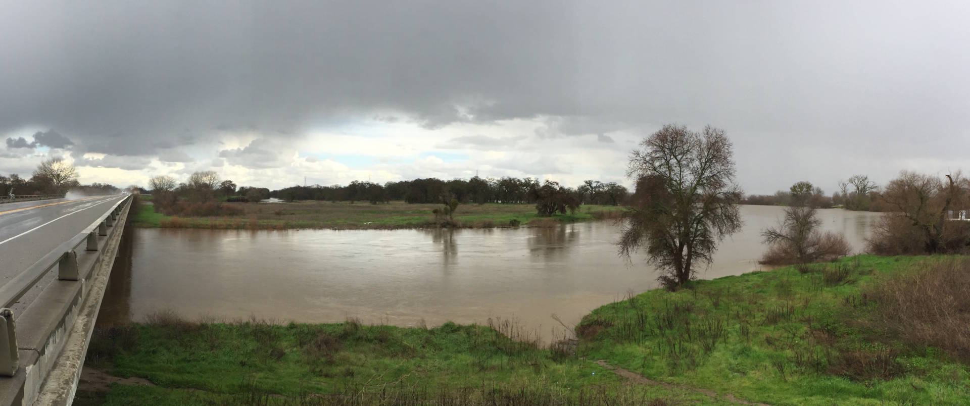
While the real turning point in the drought occurred in early January, when a series of storms brought drenching rains and drifting snow to the state, the unrelenting march of moisture off the Pacific Ocean continues to make milestones in dousing the nearly six-year drought.

According to the U.S. Drought Monitor’s weekly analysis, no part of California remains in a state of “exceptional drought,” the most severe category, and barely more than 2 percent remains in “extreme drought” (bright-red on the map) as nearly two-thirds of the state was  classified just a year ago.  The portion of California classified in any level of drought is now just over 51 percent.

https://youtu.be/NmWEygCaUWA
The animated map takes you from the first flickers of drought in 2011, through its peak, up to its waning stage today. Dark-red indicates the most severe level of drought. Yellow indicates areas considered “abnormally dry,” but not technically in drought, as defined by NOAA.

UPDATE: So moisture-packed was the parade of recent storms that a new report from NASA estimates that two of these “atmospheric rivers” by themselves might have made up more than a third of California’s five-year deficit of water content in the Sierra snowpack.

Sponsored

“This has been a real about-face,” says Dan Cayan, a climate researcher at Scripps Institution of Oceanography in La Jolla. “To date we’ve achieved almost a normal winter’s worth of water in many places in the state.” That’s with two months remaining in California’s traditional wet season.

Nearly all measures of moisture are showing this. Compared to the average on April 1, when the Sierra snowpack typically peaks, water content of the statewide snowpack is already at 106 percent, and nearly double the average for this date. In the southern Sierra, which had been lagging the rest of the state, it’s more than double.

Likewise reservoirs are rapidly topping up (starkly seen in this satellite imagery). The state’s two largest reservoirs are both well above their historical averages and holding more than 80 percent of their total capacity (many reservoirs designed for flood control are not permitted to fill completely during the winter).

“I’m a little reluctant to say the drought’s over, even though conditions have markedly improved,” cautions Cayan, noting that the state’s groundwater aquifers have a lot of catching up to do. Cayan says it may take years of “bountiful water” to refill those that can be refilled. Farms and cities have drawn heavily on groundwater during the drought, to make up for scant supplies of surface water.

The state’s most stubborn trouble spot remains concentrated around Santa Barbara, Ventura, and western Kern Counties, portions of which remain in extreme drought.

lower waypoint
next waypoint
California’s New 1600-Acre State Park Set to Open This SummerHomeowners Insurance Market Stretched Even Thinner as 2 More Companies Leave CaliforniaSame-Sex Couples Face Higher Climate Change Risks, New UCLA Study ShowsHoping for a 2024 'Super Bloom'? Where to See Wildflowers in the Bay AreaEver Wake Up Frozen in the Middle of the Night, With a Shadowy Figure in the Room?Here's When and How to See the Green Comet Everyone's Talking AboutWhere to See Cherry Blossoms in the Bay Area This SpringEverything You Never Wanted to Know About Snail SexSchizophrenia: What It's Like to Hear VoicesBlue Jellyfish-Like Creatures Ride California Waves: A Climate Change Indicator?