Listen to the story:
Flying Into the Heart of the West's Biggest Storms
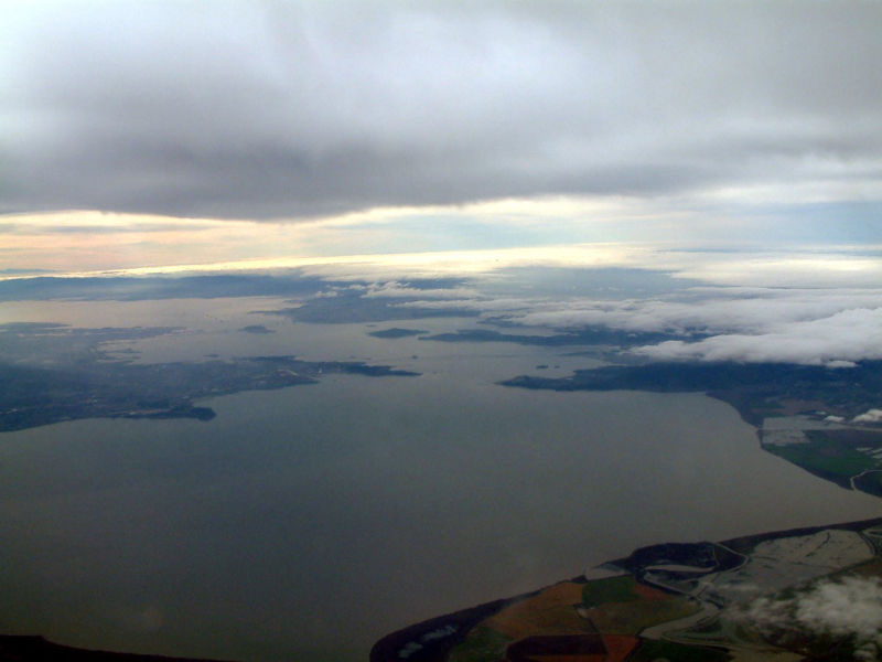
A view out the window of the NOAA research plane, with the Richmond-San Rafael Bridge in the distance. The plane is gaining altitude to fly into the storm cloud. (Danielle Venton/KQED)
Flying Into the Heart of the West's Biggest Storms
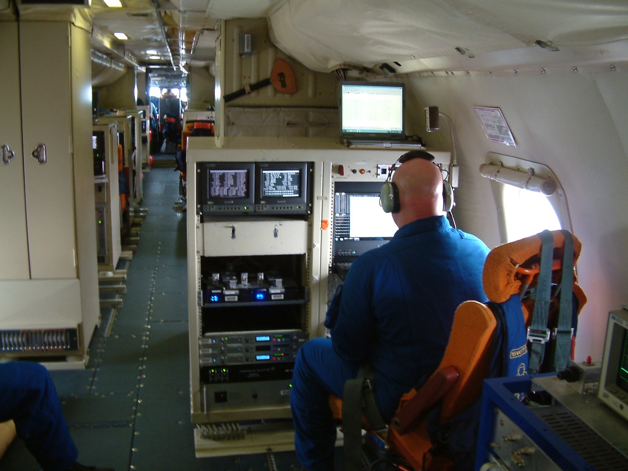
It’s a noisy, rocky ride. I’m flying through the thick of a rainstorm on a research plane operated by the National Oceanic and Atmospheric Administration. It’s crewed by a group of pilots and technicians known as the NOAA “Hurricane Hunters.” Their specialty is flying into the thick of storms, so they can relay data to weather forecasters.
On this flight last winter, though, we’re on a special mission. The flight is gathering data for an ambitious project known as CalWater 2015. The researchers’ ultimate goal is nothing less than to learn how the West Coast gets its water. Theirs is a story of rivers in the sky, motes of dust and sturdy aircraft.
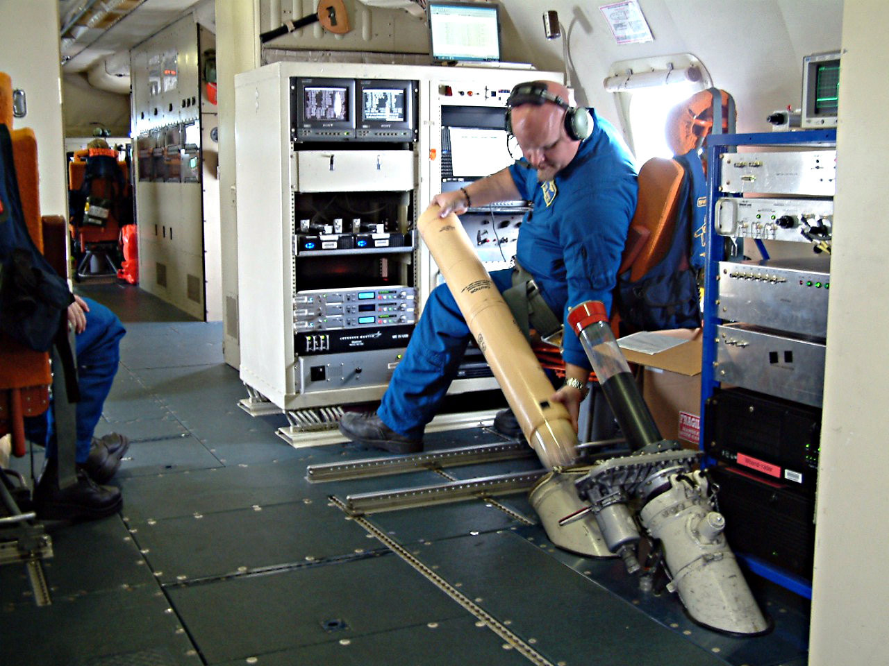
Sitting near me, electronics technician Todd Richards is dropping buoys at regular intervals through a trap door in the cabin floor. The buoys take the temperature of the ocean from the time they hit the water’s surface to a depth of 130 feet.
Sponsored
At the moment, researchers have a much better understanding of hurricanes—the most powerful, important storms of the East and South—than they do of the West’s most important storms, known as “atmospheric rivers.” These conveyor belts of moisture, which can be thousands of miles long, pelt the West Coast for days at a time and are responsible for up to half of total precipitation in California.
The problem is, our forecasting of these storms isn’t very good.
“It’s just a very hard thing to get right,” says Marty Ralph, a research meteorologist at the Scripps Institution of Oceanography and one of the CalWater scientists. “On average the heavy rainfall events are predicted to be about half as strong as they actually end up being.”
Most weather models, he says, leave out too many details; they don’t represent the clouds, the particles in the air, or how the air is moving. “They have to parameterize all that indirectly for the most part.”
This is where CalWater will help. By gathering data directly from these storms, by flying over, flying through and sailing under them, the collaboration is gathering the information they’ll need to create better weather models. In the future we’ll know more accurately, and with a longer lead time, where storms will make landfall, how much precipitation they’ll bring and how long they’ll last.
That’s all useful for emergency planners watching for flood risk, and water managers planning releases from reservoirs.
While many might balk at the thought of flying directly into a tempest, for this crew it is part of showing up for work. To stay safe, only the sturdiest planes, the four-engine turboprop NOAA P-3s, head for the core of the storm. Flying above, the NOAA Gulfstream IV-SP and the NASA ER-2 measure clouds, ozone and aerosols from on high. On the ground, a network of land-based sensors profile the storm, while on the water, the NOAA research ship Ron Brown cruises the waves.

As an interesting aside, the four-engine turboprop P-3 Orion aircraft were originally designed to fly over the ocean, hunting Soviet submarines. Today, NOAA operates two P-3s (charmingly named Kermit and Miss Piggy) as part of its storm studying operations.
Since last winter’s flights, the CalWater team has been busy crunching numbers in the lab, and the researchers are starting to release results. With just these flights, the researchers were able to triple the number of atmospheric rivers studied in detail.
Though CalWater is focused on understanding the West Coast, the improved models developed by the team could be useful around the globe. Atmospheric rivers are also responsible for some of the most extreme flooding events in Western Europe and South America.
In fact, one of the team’s most surprising findings so far is the estimate of just how much water these storms usually carry. On average, at any given moment, an atmospheric river is carrying 27 times the amount of water flowing down the Mississippi River. That’s roughly double the team’s previous best estimate.
“It’s made us realize they’re even stronger than we thought,” Ralph says.