upper waypoint

Bay Area Weather: Cold Storm Surprises Region With Snow and Chill

Save ArticleSave Article
Failed to save article

Please try again

Snow covers part of Grizzly Peak Boulevard sign in Oakland on Feb. 24, 2023. (Ray Chavez/MediaNews Group/The Mercury News via Getty Images)

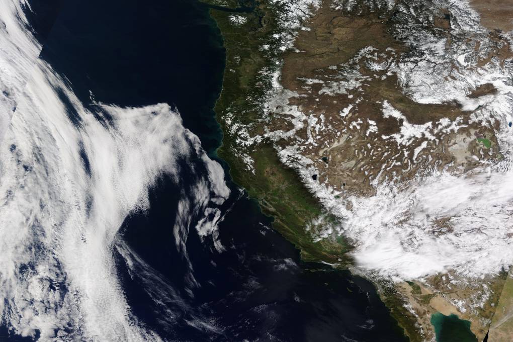
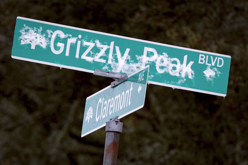
Winter is temporarily back — and fat snowflakes were already seen falling onto Mount Tamalpais, Mount Diablo and Mount Hamilton in Marin, Contra Costa and Santa Clara counties on Thursday morning.

Wintery conditions could last through Saturday as a cold storm moves through the region and may continue to whiten our highest peaks with a few inches of snow across the Bay Area and Central Coast.

“The snow will probably be most notable for people living in the East Bay, the heart of the Bay Area,” said Matt Mehle, a meteorologist with the National Weather Service’s Bay Area office.

As temperatures drop Thursday and Friday evenings, forecasters said rain could turn into snow, and temperatures on Thursday afternoon will struggle to warm above the mid-50s in lowlands and above 30 degrees in higher terrain. Meteorologists warn that near-freezing temperatures could negatively impact unhoused people.

Up in the Sierra Nevada, as much as 1 foot of snow could fall across the highest elevations, once again complicating travel on mountain passes.

“Getting cold systems like this down into California is not uncommon; what’s uncommon is to get it at this time of year,” Mehle said.

Sponsored

A storm bringing more snow than rain?

The late-season cold storm is traveling south from the Gulf of Alaska, and forecasters don’t expect the storm to produce gobs of rain, wind or flooding — less than an inch of rain across the region is predicted.

But meteorologists do expect up to a foot of snow along the Central Coast in the mountains near Big Sur.

“If you encounter snow, definitely drive slower,” Mehle said.

The National Weather Service has not issued a wind advisory, but Mehle warns wind gusts up to 40 mph are possible throughout the Bay Area over the next 24 hours. He said the agency is also working with government partners to ensure warming centers are open for unhoused people to escape the wintery conditions.

“Temperatures will remain below normal all the way into the upcoming weekend,” Mehle said.

Meteorologists forecast the rain and wind to taper off late Friday and Saturday, but cold temperatures will linger into the weekend.

The weather pattern could also drop up to 1 foot of snow across the highest points in the Sierra Nevada, especially south of Highway 50, said Idamis Shoemaker, a National Weather Service meteorologist with the agency’s Sacramento office.

Shoemaker said people traveling in the Sierra this week should carry chains and be prepared for snow-covered roads and travel delays. She also warned that we “could see snow levels lowering down into the upper foothills.”

The cold storms also bring thunderstorm potential. Shoemaker said that could mean lightning, gusty winds, small hail and funnel clouds at lower elevations, especially in the Sacramento Valley.

Looking ahead, there’s a slight chance of scattered showers over the weekend before warm and dry weather returns next week.

“Warmer than average temps may be in the cards by mid-April,” said UCLA climate scientist Daniel Swain in a post on X.

lower waypoint
next waypoint
Bay Area Cities Push to Legally Validate Polyamorous FamiliesCalifornia’s New 1600-Acre State Park Set to Open This SummerWhat Is the 'Green Flash' at Sunset — and How Can You See It?California's Plans for Slowing Climate Change Through Nature-Based SolutionsHoping for a 2024 'Super Bloom'? Where to See Wildflowers in the Bay AreaSame-Sex Couples Face Higher Climate Change Risks, New UCLA Study ShowsBlue Jellyfish-Like Creatures Ride California Waves: A Climate Change Indicator?Ever Wake Up Frozen in the Middle of the Night, With a Shadowy Figure in the Room?Everything You Never Wanted to Know About Snail SexWhere to See Cherry Blossoms in the Bay Area This Spring