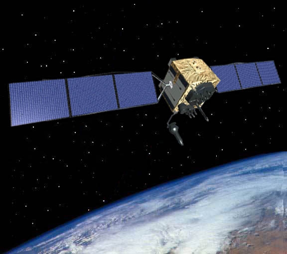
Quantum physics, Einstein’s theory of relativity and atomic clocks that are accurate to one billionth of a second -- all of these are crucial in allowing your smartphone to pinpoint your precise location almost anywhere on Earth. It’s called the Global Positioning System, or GPS. GPS is comprised of a constellation of satellites orbiting Earth, broadcasting atomically-accurate time down to your smartphone, allowing it to calculate your ever-changing location, even when you’re on the move.
The GPS receiver in your smartphone uses trilateration -- a more complex version of triangulation -- to determine its position on Earth. In drawings, trilateration is often illustrated in 2-D using circles. But since GPS deals with satellites and Earth in the real 3-D world, spheres are a better representation of what's actually happening.
The Story of GPS
GPS actually begins with the basic human desire to know where we are and where we're going. For centuries, travelers had to rely on the sun, the stars or fixed landmarks to navigate from point A to point B. This crude method worked, but was prone to frequent error. Over long journeys at sea, ships could veer off course, sometimes arriving hundreds of miles from their destination, or worse, shipwrecking and not arriving at all.
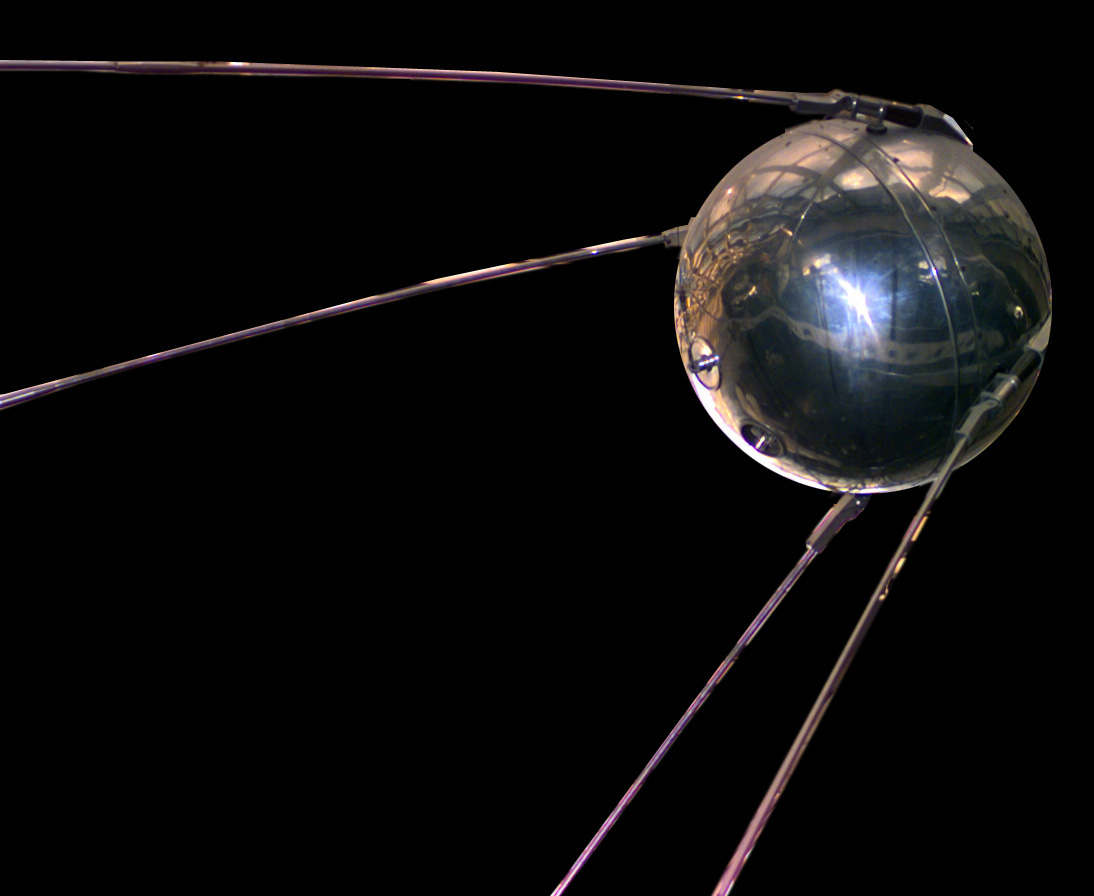
Navigation methods continued to improve with time, but it was not until the fateful night of October 4, 1957 that a man-made endeavor would usher in the most accurate navigation tool to date. On that date, the Soviet Union launched Sputnik, the first satellite to orbit Earth. Sputnik was equipped with a radio transmitter, allowing it to broadcast a signal to almost anywhere on Earth.
Scientists in the United States used Sputnik’s broadcasted signal to determine its precise orbit. If scientists could calculate a satellite’s orbit in space from a known location on the ground, then they could do the reverse -- if they knew a satellite's precise orbit they could calculate a specific location on the ground, which is the basic principle of GPS.