upper waypoint

Side Trips from Interstate 5: Stony Creek Valley

Save ArticleSave Article
Failed to save article

Please try again

All photos by Andrew Alden

Anyone looking at the Sacramento Valley in a satellite view surely wonders about the eastern edge of the Coast Range, a belt of striking corrugated terrain running up the west side from the Bay Area almost all the way to Redding. I'm here to tell you that it's extremely picturesque country. Geologically, it consists of the thick, tilted-up Great Valley Sequence of sedimentary rocks and the older, underlying Franciscan Complex metamorphic rocks farther west.

As you go north on I-5 you pass four towns that I think of as the four W's: Winters, Woodland, Williams and Willows. Today's sample of this district is a loop into the corrugated country starting at Willows and ending back at I-5 in Orland or Corning; take your choice. Here's the route (created on gmap-pedometer.com):

And here's the geology en route (created from the interactive state geologic map):

A belt of serpentinite (purple) separates Franciscan metamorphic rocks on the west from Great Valley Sequence sedimentary rocks on the east (J, Jurassic; Kl and Ku, lower and upper Cretaceous). Overlain on these are Tertiary volcaniclastic and volcanic rocks (Tvp and Tv) and younger outwash deposits (QPc). Pink lines mark structures: anticlines and synclines.

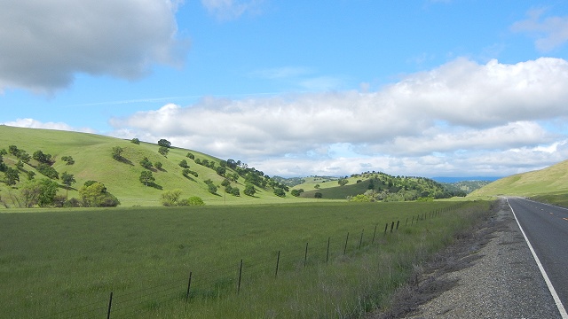
State route 162 leads west from Willows into the series of ridges formed by the uptilted Great Valley Sequence rocks. These are the same formations, of the same age, that I showed you north of Fairfield.

All photos by Andrew Alden

Beyond a series of these ridges is a long valley underlain by fine-grained Jurassic rocks, the oldest part of the Great Valley Sequence. The valley is punctuated by hogback ridges that affect the course of the roads. Parts of the valley have been turned into reservoirs, like Stony Gorge Reservoir.

Sponsored

A new reservoir is planned south of here around the settlement of Sites that will be used to regulate streamflow in the northern Sacramento Valley and allow older structures to be modified.

Eventually route 162 crosses Stony Creek, where the Great Valley Sequence rocks are spectacularly exposed in a washboard streambed.

Turn north here on 162 and follow the river, taking note of the different levels of stream terraces built when Stony Creek had not eroded as far down as it has today.

When 162 turns west again, continue north on county road 306. (At the moment, the route on 162 through the Coast Range to Covelo is closed.) In late April when I visited, the countryside was a picture-postcard experience.

If you like, take 162 a ways into the Franciscan country, or for a more intimate experience take county road 313 west instead, a well-graded dirt road just three miles to the north. (That's the spur shown on the route map.) In clear weather, vistas spread out as you rise. Here's the view south down the valley of Stony Creek:

And here's the view northeast toward the Great Valley over the sawtooth ridges of Great Valley Sequence rocks:

Ahead is the rugged topography held up by the Franciscan Complex. Note how the vegetation has changed as well as the bones of the land. The highest peak is Red Mountain. The contact between these two highly contrasting geologic provinces is the Coast Range thrust, which has tilted up the rocks on the east side like a pet pushing under a bedsheet.

Watch the roadcuts, too, for exposures of serpentinite, or schist like this:

Step out and collect a specimen or two if you like; this is public land. Chrome ore was mined around here, in and around the serpentinite belt. The tiny settlement of Chrome marks the site of one former mine.

Road 306 butts into Newville Road, and that's where you turn back toward the freeway. But there's one more attraction as you go forward through geologic time into the Sacramento Valley: the unexpected Black Butte. This is a segment of a huge lava flow, the Lovejoy Basalt, that once crossed the Valley from a source in the northern Sierra Nevada, reaching from here south to Vacaville. Black Butte was raised by a fault, sparing it from erosional destruction. The lake around it is artificial, and the whole is a splendid park.

To get to Corning requires a short backtrack to Black Butte Road, which crosses orchard lands and offers low-key views (which I believe will show Mount Shasta on clear days). You may also take a shorter side trip starting in Orland that visits Black Butte alone. But once you get behind the curtain of those serrated Great Valley Sequence hills, you'll never look at this stretch of I-5 the same way again.

lower waypoint
next waypoint