The East Bay is marked by the Hayward fault, stretching from Point Pinole south through Fremont. It's considered the most dangerous earthquake fault in northern California, capable of a quake causing a $100 billion disaster. Geologists are conflicted as they approach the Hayward fault, with reverence for its capacity for damage but enthusiasm for its textbook display of tectonic features. City websites approach it with the terrified response of the proverbial ostrich.
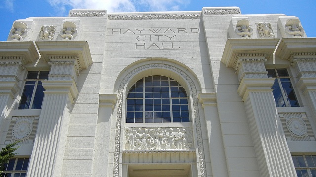
Hayward gave its name to the fault thanks to the original "great San Francisco earthquake" of 1868, but you wouldn't know it from the city's website. Indeed, most of the cities on the fault, north or south, don't admit that they're even near it except in passing, in old background documents. Pinole, San Pablo, Richmond, El Cerrito—nowhere on their websites do these cities show their residents where the fault is. Berkeley's website has a useful map, but I can't tell you how to find it except through a brute-force search. Oakland, which sits on more miles of the fault than any other East Bay city, has almost nothing even in its Public Safety Portal. San Leandro has nothing. Hayward presents a low-grade map of the fault and a lot of good offsite links, but only a dedicated searcher can find them. And searching Fremont's website turns up nothing.
I have to call this situation a miserable failure. Off the top of my head, I checked Biloxi, Mississippi, a river town in hurricane country. There's a big tab, "Storm & Flood Preparedness," high on the city website's home page. But East Bay cities treat earthquake as something nebulous in the environment that, like the 1989 Loma Prieta quake, might affect them as distant bystanders.
So who's helping our East Bay cities raise public awareness?
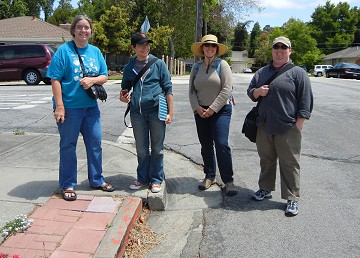
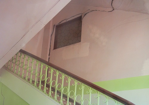
I didn't start writing this piece intending to blow my own horn, but my Oakland Geology blog has a geologic map of the city and many posts about the fault. It seems like—no, it is the least I can do. I actually set out to talk about Fremont, where a Hayward Fault Walk and Tour takes place this summer on July 14 and August 11. The city is involved with that exercise, although the prime movers are the nonprofit Math/Science Nucleus and the federal U.S. Geological Survey, which has extensive resources on the Hayward fault. The city of Fremont could hardly avoid involvement, because its first city building was set directly upon the fault trace in 1962 and is being slowly wrenched apart. (Geologist Joyce Blueford of Math/Science Nucleus provided this background document to the Tri-City Voice.)


