upper waypoint

Side Trips from Interstate 5: Coalinga Country

Save ArticleSave Article
Failed to save article

Please try again

Cattle range in the beautiful hills just a few miles from the Harris Ranch feedlot. Photos by Andrew Alden

Cattle range in the Big Blue Hills just a few miles from the Harris Ranch feedlot. Photos by Andrew Alden

Driving Interstate 5 through the Central Valley, I find something to like on every mile except one: the smelly vicinity of the Harris Ranch feedlot north of Coalinga. This is how you can avoid it and enjoy some geology for an hour or so.

Assuming you're heading south, the key is to get off of I-5 about 10 miles before the feedlot, at the Route 33 North/Derrick Avenue exit. Think of Derrick as old Route 33, because 33 actually joins I-5 here for a few miles before exiting to the right and meeting Derrick again farther south. See if that makes sense on the geologic map below. This side trip follows 33 into Coalinga and then straight east to the interstate, crossing some interesting structure and a couple of oil fields.

Significant map units from oldest to youngest: Ku, upper Cretaceous marine rocks; Ep, Paleocene marine rocks; E, Eocene marine rocks; M and Mc, Miocene rocks; P; Pliocene rocks; QPc, Pliocene-Pleistocene nonmarine rocks; Q, modern and recent sediment; Qoa, Quaternary river terraces. Magenta lines mark structural arches and troughs, with arrows indicating dips of adjoining strata and plunge of the feature's axis

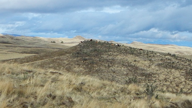
Derrick Avenue runs for a while through orchard lands parallel to I-5, crossing it twice. Hang in there: it eventually veers away into the Big Blue Hills, as these foothills of the Coast Range are called, out of earshot of the big freeway and smellshot of the big feedlot.

The country here is rolling semidesert, marginal rangeland. The ground underfoot was muddly seafloor for many millions of years, until quite recently in geologic time, around 5 million years ago. Then slow compression across the San Andreas fault raised the Coast Range, buckling these sediments into arching folds. The upward-buckling folds are called anticlines, scientific Latin that means "sloping apart." (Downward-warping troughs, like the one running the length of the Central Valley's western edge, are called synclines.)

Sponsored

Erosion then got to work on the anticlines, peeling away their youngest layers and exposing progressively older rocks. Meanwhile underground, oil and gas worked their way uphill in the newly tilted strata to collect along the center of the nearest anticline. The area around Coalinga, including this part of the Big Blue Hills, is the northern edge of the California oil patch. Now maybe Derrick Avenue's name makes more sense.

Derrick Avenue meets Route 33 again, and you'll turn right on it—going left takes you straight to the stinky feedlot. The road then crosses Anticline Ridge and the heart of the Coalinga Oil Field. Take the Shell Road turnoff if you like where Route 198 comes in; both ways lead to town.

Wells of the Coalinga Oil Field. Photo courtesy Wikimedia Commons

The Coalinga field is the largest of several around here. It was the first great oil district in the Central Valley and remains productive today using enhanced recovery techniques.

The oil-bearing hills give way to Pleasant Valley, a syncline filled with young sediment that's occupied by farmland, a state prison, and the town of Coalinga. There are places in town to take a break and find a snack, not to mention the local attraction the R. C. Baker Memorial Museum. Then follow Route 33 out of town again.

It's possible to make Coalinga the start of an extended trip through the oil patch—just follow Route 33 south where it turns right. But to end this side trip, stay on the straightaway, crossing the anticline one last time in the low Guijarral Hills and its moribund oil field to reach the freeway, which is already in progress.

Wikipedia calls this the last working pump in the Guijarral Hills Oil Field. Wikimedia Commons photo

Also still in progress is the rise of the Coast Range. On the afternoon of 2 May 1983, Anticline Ridge jolted up another foot or so in a magnitude 6.4 earthquake. I was sitting in Menlo Park at the time and remember well its ominous slow roll, the sign of a big one somewhere far away.

lower waypoint
next waypoint