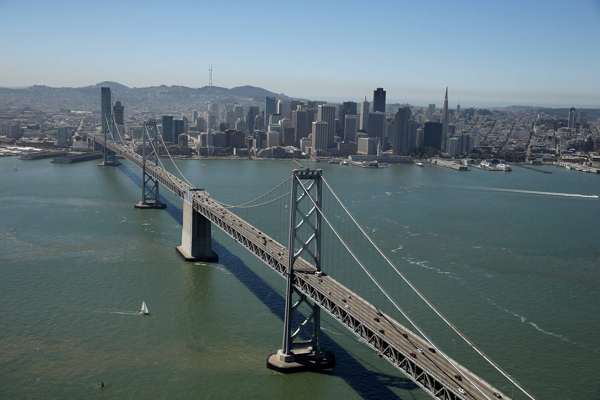
If the Heart of the Ocean is a big blue diamond, the Heart of San Francisco Bay would be a big muddy emerald — or maybe more like a jade stone? Malachite? What I’m saying is, she’s green.
It hasn’t always been that way, though. When Bay Curious listener Justin Hartung was growing up in Oakland, he remembers the bay being blue. After moving to New York for college in the early ’90s, and returning to the East Bay a couple of years ago, he noticed a big difference in the hue of the harbor.
“I remembered it being much more blue,” he says. “So I wondered if that was a thing, or if I was just remembering things incorrectly.”
Justin is not wrong. The bay is, in fact, greener now than it was in 1992. It’s the result of a chain reaction of natural processes that includes the rotation of the Earth and something called a trophic cascade.
It Ain’t Easy Being Green
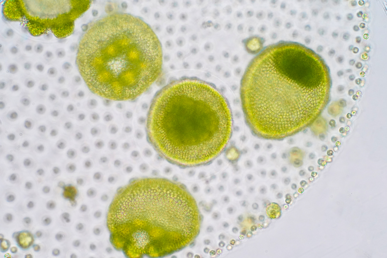
What makes the water appear green are lots of microscopic marine algae called phytoplankton. These photosynthetic organisms contain the same chlorophyll that makes plants green. Though they’re tiny, phytoplankton represent the largest biomass in the bay. They typically go through a large bloom in the spring and early summer, providing a plentiful food source for many other aquatic organisms.
The animals that feed on phytoplankton include filter feeders like clams and mussels. Back in the early ’90s, when Justin was still in the Bay Area, the clam and mussel populations kept the phytoplankton numbers in check. But toward the end of the decade, things started to shift. We know this only because someone has been keeping track.
Surprises Are New Discoveries
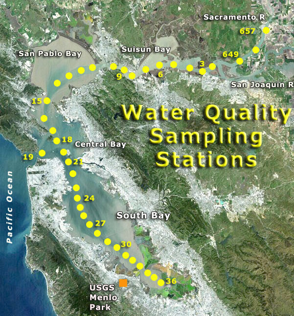
Jim Cloern is a retired aquatic ecologist who spent his 43-year career with the U.S. Geological Survey studying San Francisco Bay. He was part of a team that maintains a record of water quality in the bay by doing regular sampling at set locations. The data set goes back to 1968, a longevity most other U.S. waterways don’t have.
“It’s very unusual in the United States,” Cloern says, “I think this USGS program is the longest continuing program of research observation in a bay or estuary in the United States.”
The program is still running, and scientists head out on sampling cruises about once a month. They started on the R/V Polaris, and in 2016, moved operations to the catamaran David H. Peterson, named for the late founder of the project. There’s a new generation of team members now; some work for the USGS, others are Ph.D. candidates doing doctoral research.
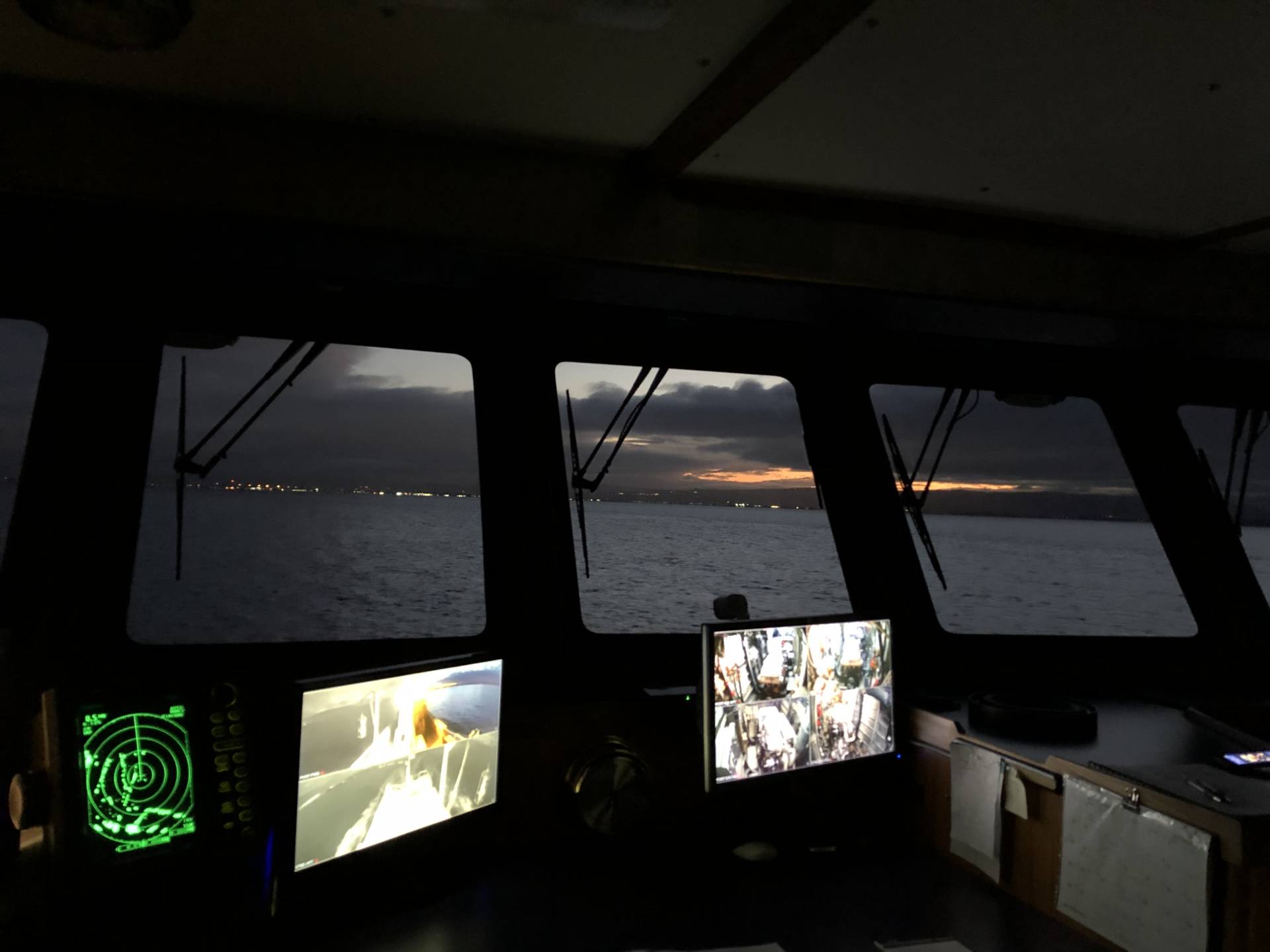
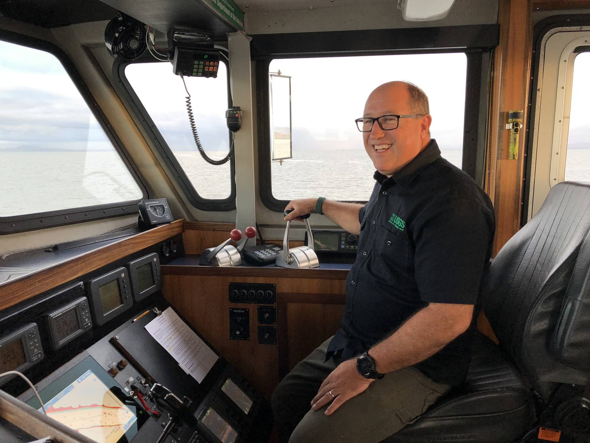
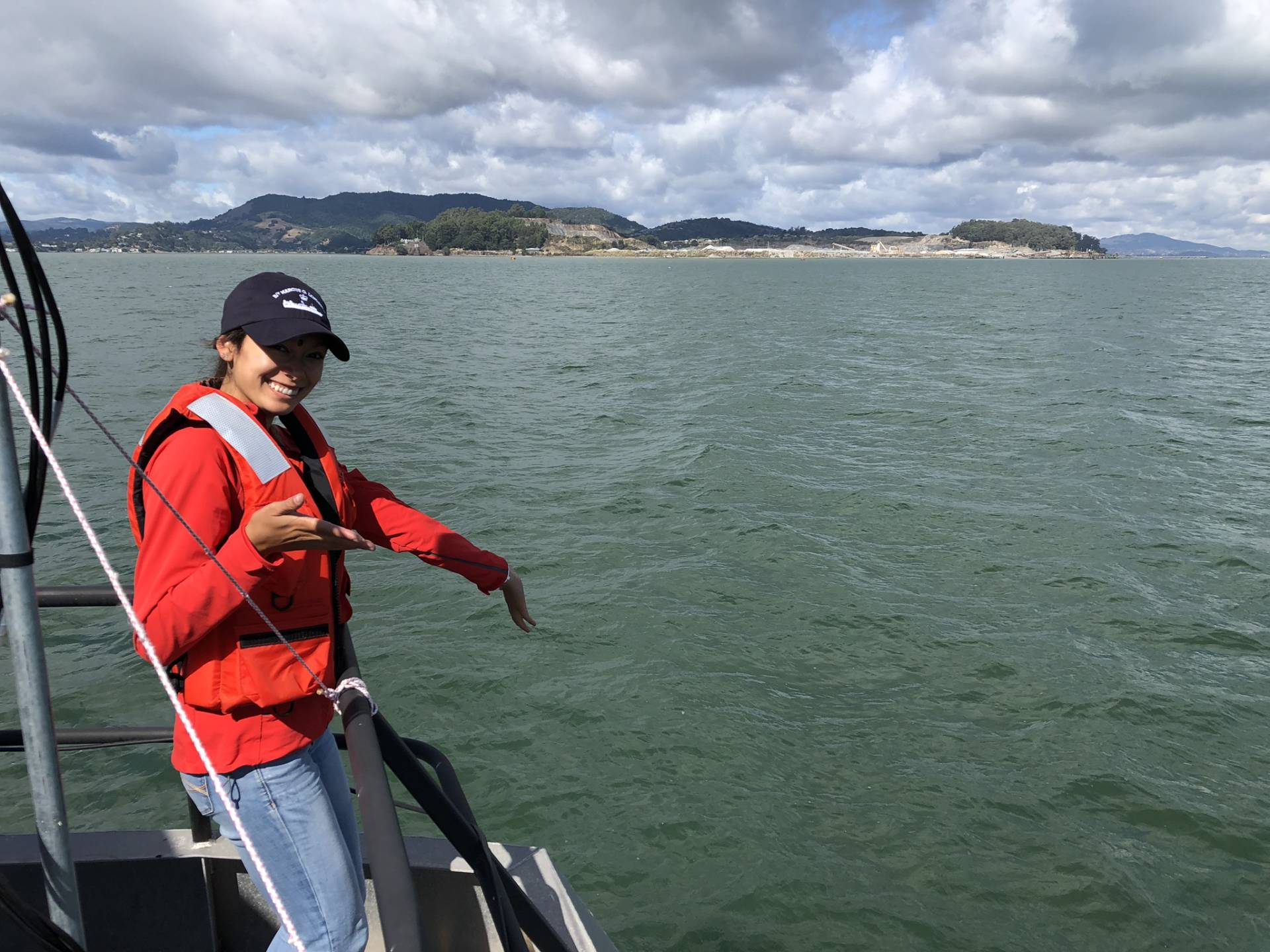
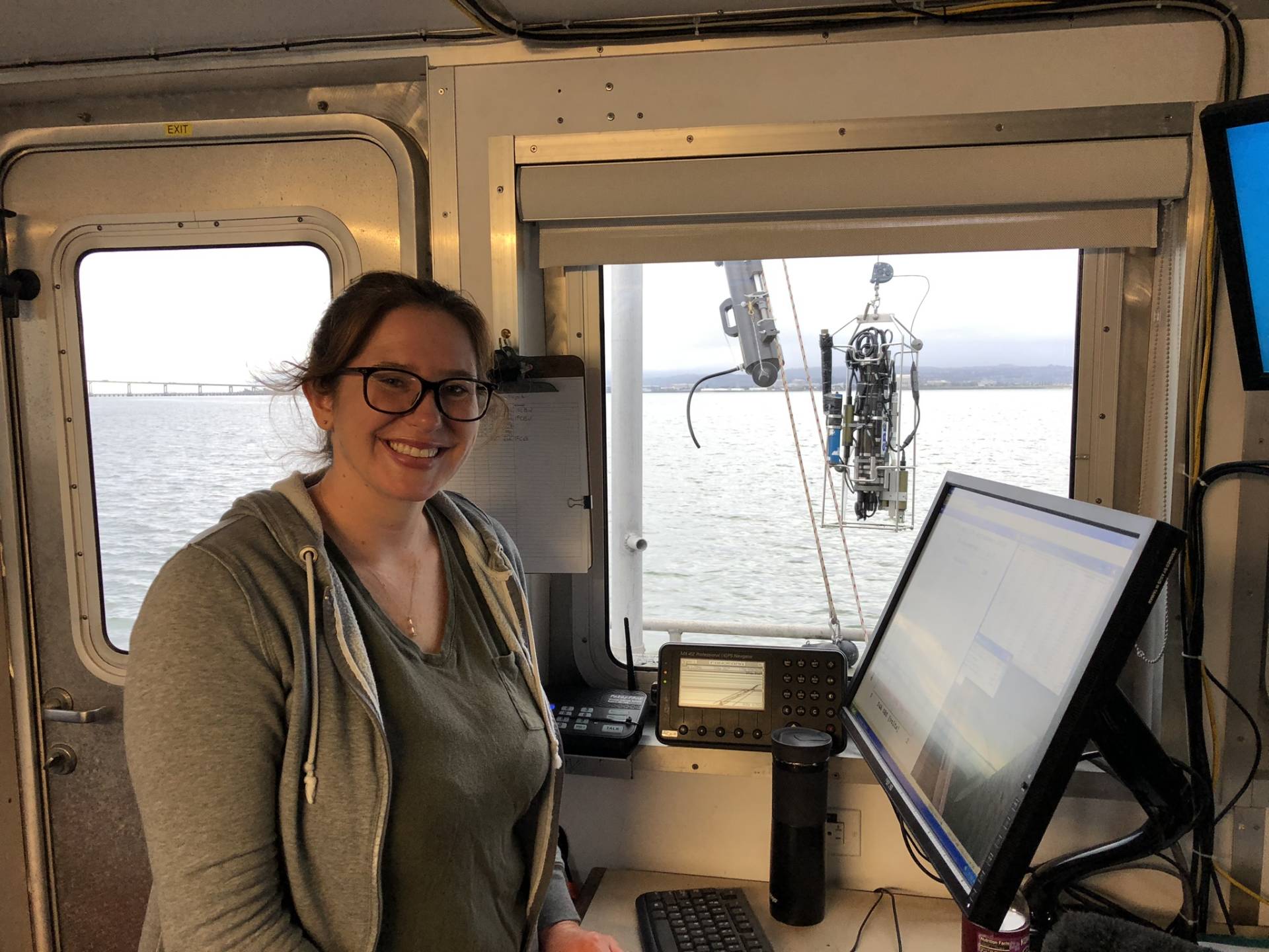
The David H. Peterson, helmed by Capt. Joel Fritsch, takes off from the Port of Redwood City in the predawn hours and heads south, under the Dumbarton Bridge, to their first sampling station. There they turn around and begin the long trek through the entire bay, all the way into the mouth of the Sacramento River.
At each location Fritsch positions the boat, then calls out to the scientists on board that they’re free to begin working. The team jumps to action. With so many sampling locations and so far to go, they have only minutes to do the work they’re here for, and the distance between the stops is sometimes as short as five or seven minutes.
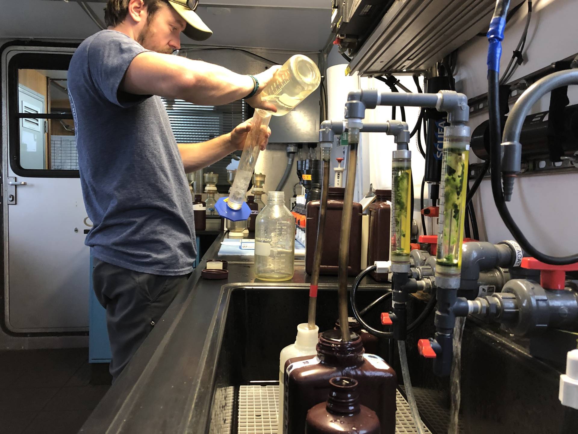
The information being gathered includes the temperature, salinity, turbidity or cloudiness, and chlorophyll concentrations. Water samples are also being collected from the bottom of the bay and along the surface water. They’re stored for later research and DNA sequencing to keep track of which phytoplankton species are present.
Cloern says maintaining this robust data set is vital to keeping track of the bay. “The longer we do this, the more we’re surprised,” he says, “and surprises are new discoveries.”
It’s because of this monitoring that the USGS team noticed a shift in the phytoplankton concentrations in the late ’90s.
One Thing Leads to Another
Starting around 1998-99, phytoplankton populations rose. The researchers saw blooms in the fall, which was very unusual. After consulting with colleagues who research bivalves in the bay, they discovered that clam and mussel populations had dropped significantly. These animals would normally filter out the phytoplankton, but their low numbers meant phytoplankton were proliferating and causing a greening period in the water.
It took the USGS team several more years to discover the cause for the low numbers of bivalves. Eventually they found that it’s all the result of a massive climate shift that began around that time.
The direction of the prevailing winds in the north Pacific Ocean has been observed to oscillate every 30 to 40 years. The last of these shifts occurred in the late ’90s, with the direction shifting from a south to north pattern, to a north to south pattern. Because of the Coriolis effect caused by the rotation of the Earth, the north to south winds cause the surface water along the coast to push west.
As the currents push west, they also churn up colder, more nutrient-dense water from the bottom of the ocean. This process is called coastal upwelling. Many marine animals thrive in this nutrient-rich water, setting off a trophic cascade.
Flatfish, crabs and shrimp all use San Francisco Bay as a nursery for their young. When this coastal upwelling began to occur, their populations grew, leading to more juveniles in the bay. All of these organisms eat clams and mussels, which led to a drop in those populations. That’s how you end up with more phytoplankton abundance and greener water.
Can We Ever Go Back To Blue?
This North Pacific oscillation process is a natural one and is not the result of human-caused climate change. It is likely that in the next of these large wind shifts, the pattern will reverse, leading to an increase in bivalve populations and fewer phytoplankton, thus bluer water. As long as the USGS sampling program continues, we’ll be able to track those changes over the long term.