Mudslides often happen after wildfires, because the brush that slows rain runoff has burned away and the soil can be less porous, making it harder for the land to soak up the rain. Prolonged heavy rain could cause this soil to fail and trigger a landslide.
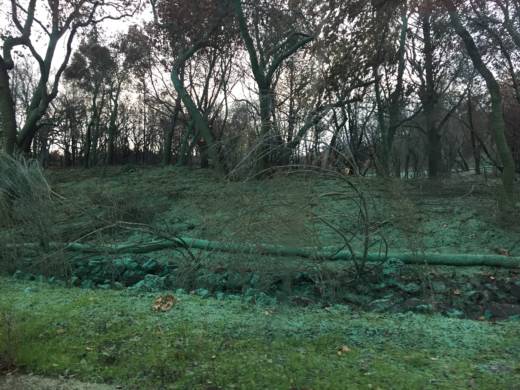
That's what officials are now hoping to prevent. If you drive through parts of Santa Rosa and Sonoma County, you'll see efforts underway to prevent erosion and mudslides. There are sand bags and straw logs along the roads. In some places, the ground all the way to the top of the trees is covered in a minty green spray. It's called hydroseeding and it's meant to help plants regrow quickly.
Although debris flows can happen on any slope that is made up of weak or broken materials, the U.S. Geological Survey reports the areas most at risk are those with sedimentary or metamorphic rock underneath a top layer where at least 65 percent of the land has been moderately to highly burned.
After the wildfires, the U.S. Geological Survey assessed the burned areas in the North Bay to produce maps that estimate the likelihood of a debris flow based on the soil, basin and rainfall characteristics.
According to the assessment map for the area burned by the Tubbs Fire, parts of the Riebli-Wallace neighborhood have a 20-60 percent likelihood of a debris flow after an intense rainstorm.
Dennis Staley is a research geologist with the U.S. Geological Survey and helped produce the maps. He said mudslides can happen even with less intense rainstorms, if they occur over a long period of time. The landslides of the USGS models are based on very short duration with very high-intensity rainfalls, which produce debris flows that are like flash floods.
“They’re a lot more dangerous. They’re a lot more destructive,” Staley said. “Whereas the longer-duration storms may result in the shallow landslides that are a lot more of what people think of when they think of landslides and debris flows.”
He said the USGS did its first assessment after the October 2003 Grand Prix fire in the San Bernardino Mountains. On Christmas Day that year, a storm led to a mudslide that killed 16 people at two campgrounds in San Bernardino County. Rainfall in that storm was relatively moderate, about an inch of rain per hour, said Staley.
“That tragedy was a catalyst for the development of the tools and models that we use to predict debris flow hazards, as well as the post-fire debris flow early warning system," he said.
Now, the USGS partners with the National Weather Service in Los Angeles and San Diego counties to provide early warnings to officials in those regions for the potential of landslides based on the basin models and rain forecasts.
In Sonoma County, officials have advised residents to consider purchasing flood insurance and warned that there is a higher potential for mudslides and landslides. According to a USGS report, debris flows could be triggered by heavy rainfall for up to two years after a fire. First, though, residents have to get through this winter.