Mostly dry weather -- though cool and overcast -- is expected at least through late Friday. Forecasters are warning that weekend storm has the potential to be much wetter, bringing a foot or more of rain to coastal mountains and the Sierra foothills and 3 to 6 inches to the central Bay Area. A lot more snow -- several feet at the higher elevations -- is expected in the Sierra.
Original post (5:53 p.m. Tuesday): The rainy season of 2016-17 has finished its first act -- a fall and early winter marked by heavier-than-normal precipitation across the Bay Area and the rest of Northern California -- and is storming into what's starting out as a turbulent Act Two.
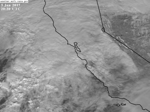
A weather system that crept into the Bay Area late Monday brought steady rain to much of the Bay Area throughout the day Tuesday, with the heaviest rain expected later Tuesday night. The storm prompted the National Weather Service to issue an advisory for street, highway and small street flooding throughout the region.
The wettest spots through 5 p.m. Tuesday were Kentfield and Mount Tamalpais in Marin County -- with 2.29 and 2.21 inches respectively -- and the Santa Cruz Mountains community of Ben Lomond, with 2.25 inches. Bayside totals included .61 of an inch at San Francisco International Airport, .52 in Oakland, .35 in downtown San Francisco and .09 at San Jose International.
Rain totals could top 4 inches in the Santa Cruz Mountains and 6 inches in the area burned by last summer's Soberanes Fire, inland from Big Sur. The expected deluge prompted flash flood watches in the Santa Cruz Mountains through Wednesday morning and in the Soberanes burn area through Wednesday afternoon.
The storm, fed by moist air from the subtropical Pacific, also brought very heavy snow and high winds to the Sierra Nevada and triggered a series of winter storm warnings. Forecasters say more than 3 feet of snow could fall by Thursday morning at Donner Pass on Interstate 80 and Echo Summit on U.S. 50, the main routes to Lake Tahoe and Sierra ski resorts.
The current storm should pass by late Wednesday, opening the way for cold, dry weather on Thursday and Friday. That respite will end Saturday, when a second, much more potent storm is expected to arrive.
Brian Garcia, the warning coordination meteorologist for the Bay Area National Weather Service office in Monterey, said that storm could bring 5 to 7 inches of rain over the weekend to coastal and valley locations near San Francisco Bay and 15 to 17 inches to ridges and mountains north of the Golden Gate, to parts of the Santa Cruz Mountains and into the mountains above Big Sur.
Coming on the heels of the current storm, the weekend deluge raises the possibility of flooding at many locations in the region, Garcia said.
"We're saturating the ground with this system right now," he said. "We're not going to have a lot of time to dry out before the storm arrives this weekend."
Areas that saw rapid stream rises during heavy rains in December -- including Corte Madera, San Anselmo and Fairfax creeks in Marin County; the Napa River at St. Helena and the north end of the city of Napa; and Corralitos and Soquel creeks near Santa Cruz -- could see the possibility of high water again over the weekend.