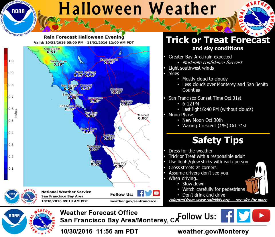
Halloween bottom line: It will be damp, not a deluge.
After the storm passes, forecasters say, most of the Bay Area should see a prolonged stretch -- at least a week -- of dry weather.
Original post, Friday, Oct. 28: It's officially a really wet October in the Bay Area.
The warm storm that arrived early Thursday morning gave an unusually even distribution of rain across the region through midday Friday, ranging from nearly an inch at most sea-level locations around San Francisco Bay up to 2 and 3 inches in the Sonoma County hills and Santa Cruz Mountains. (See table.)
More remarkably, the latest rains added to already remarkable precipitation totals from our mid-October storms.
The Santa Cruz County hamlet of Ben Lomond, on Highway 9 in the Santa Cruz Mountains, has topped 12 inches of rain this month. That compares to an October average, going back to 1937, of 2.76 inches.
Venado -- little more than a soggy hillside in the Russian River watershed west of Healdsburg, has picked up more than 15 inches for the month. And that compares to a normal of. ... Well, I can't find a good data source for that, though the California-Nevada River Forecast Center publishes a data table that purports to show that Venado, hands down the wettest location in the greater Bay Area, averages 2.01 inches in October. Not buying that, but I'll have to figure out a better number.
(And if you want to talk about someplace that's really moist, let's talk about the Gasquet Ranger Station, on the Smith River in Del Norte County, up in the northwest corner of the state. Gasquet has gotten a dumping of 24.52 inches this month. It's normal rainfall for October is 5.60 inches.)
Less dramatically, San Francisco International Airport has seen 1.93 inches since the first of the month, almost exactly double the 30-year normal of .97 inches. Downtown San Francisco has gotten 2.31 inches, compared to a normal of 1.12 inches for October. The rain gauge at the Oakland Museum has recorded 2.70 inches, against the norm of 1.37 inches.
We're likely to see those totals grow significantly over the final three days of the month. The National Weather Service says a pair of storms are due to arrive over the next several days.
The first is expected to move into northern Sonoma County by late Saturday afternoon and bring rain to the entire region by Sunday morning. Rainfall totals are expected to range from a quarter-inch to half-inch in most of the central Bay Area and up to 2 inches in the hills north and south of the bay.
Forecasters say the Saturday night-Sunday storm will be a snow maker, too, dumping about a foot of snow on Donner Pass (Interstate 80) and Echo Summit (U.S. 50), both about 7,200 feet above sea level. Several feet of snow are possible at higher elevations throughout the northern Sierra.
After the weekend rain, a fast-moving storm is expected to bring more rain Monday evening.
A quick rundown of 48-hour precipitation totals through midday Friday, Oct. 28:
| Location |
Amount |
| Venado (Sonoma County) |
3.52 |
| Soquel (Santa Cruz County) |
2.29 |
| Henry Coe State Park (E. Santa Clara County) |
2.21 |
| Mount Umunhum |
1.74 |
| Mount Saint Helena |
1.64 |
| St. Helena |
1.60 |
| Middle Peak |
1.46 |
| Ben Lomond |
1.40 |
| Mount Diablo Peak |
1.37 |
| Santa Rosa-Charles Schultz Airport |
1.34 |
| Point Reyes Station |
1.22 |
| Napa |
1.07 |
| Vacaville |
1.04 |
| St Mary's College (Moraga) |
1.03 |
| Tilden Park (Berkeley Hills) |
0.98 |
| San Jose International Airport |
0.93 |
| Los Gatos |
0.91 |
| Richmond |
0.90 |
| Mill Valley |
0.87 |
| Concord |
0.86 |
| La Honda |
0.86 |
| Rodeo |
0.84 |
| San Rafael |
0.78 |
| San Francisco |
0.78 |
| Oakland |
0.73 |
| Hayward Airport |
0.55 |
Source: NOAA/California-Nevada River Forecast Center