upper waypoint

New Interactive Map: How Polluted Is Census Tract Where You Live or Work?

Save ArticleSave Article
Failed to save article

Please try again

Photo by Craig Miller/KQED

A new map of pollution statewide, put together by the Los Angeles Times, is based on data from the Environmental Protection Agency that allows people to check out census tracts — there are more than 8,000 of them — to see how toxic their home or workplace is. You can navigate by dragging your mouse along or simply by entering an address or ZIP Code in the search box.

The environmental impact index allows people to get very specific. They can find out about diesel particulate matter, drinking water toxicity, ozone concentration and toxic releases into the air.

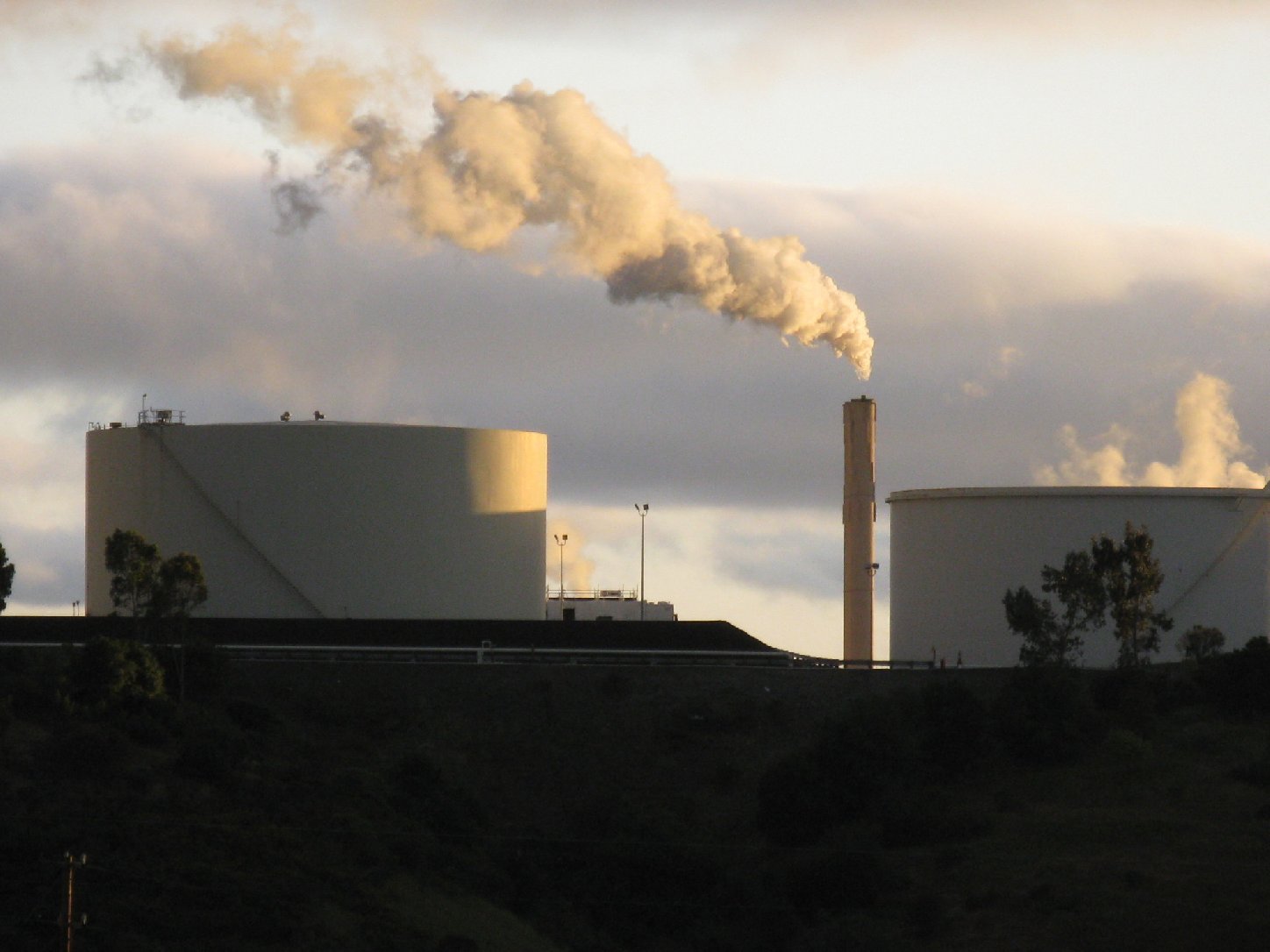
Here's the draft report upon which the data are based, as well as the L.A. Times story, which notes that the EPA's new approach comes in the wake of heavy criticism for assessing California's environmental hazards only by its 1,800 ZIP Codes.

Sponsored

lower waypoint
next waypoint
Map: What You Need to Earn to Afford a Median-Priced Home in Your County in CaliforniaNewsom Eyes Cuts to California’s $500M Anti-Foreclosure Fund for RentersEarly Bay Area Heat Wave Brings Hottest Temperatures of the Year So FarInside Sutro Baths, San Francisco's Once Grand Bathing PalaceYouth and Nonprofits Rally Against Cuts to SF Family Support ProgramsHalf Moon Bay Mayor Calls Newsom's Legal Threat Over Farmworker Housing UnhelpfulIt's Official: Oakland Port Once Again Votes to Change Airport Name to 'San Francisco Bay Oakland International Airport'What Makes a Burrito…a Burrito?Berkeley Passes Legal Protections for Polyamory, Joining OaklandFailures of SF Office on Sexual Assault Complaints Draw Scrutiny