The storm flooded roads throughout the region and even triggered small slides south of the Bay Area — including one on Highway 1 near Garrapata State Park, south of Carmel. As we reported earlier: PG&E is dealing with weather-related power outages involving thousands of customers in western Marin and Sonoma counties, and thousands more along the coast down to Santa Barbara County and inland to the San Joaquin Valley.
In the Sierra Nevada, where the snowpack is at just 22 percent of normal for the date, the Friday-Saturday storm is expected to drop as much as 2 feet of snow. Caltrans reports the Sierra passes are all open with chains required on small stretches of Highways 88 and 4. On the other side of the mountains, chains are required along stretches of U.S. 395 in Mono County.
The rainy weather caused more than 100 flight cancellations at San Francisco International Airport this morning, as well as flight delays of more than an hour. As of about noon, 51 arrivals and 52 departures had been canceled at SFO, airport duty manager Larry Mares said. Travelers whose flights have not been canceled are experiencing delays of about 30 to 60 minutes, with some flights delayed as much as 90 minutes.
7:30 a.m. Friday Update: As advertised, a storm that swept in from the Pacific overnight has brought high winds and heavy rain this morning. The highest rain totals from the storm, which is sending waves of precipitation across the Bay Area from the south, are being recorded in the Santa Cruz Mountains and, further down the coast, in the Santa Lucia range.
PG&E is reporting widespread power outages involving thousands of customers in western Marin and Sonoma counties, and thousands more along the coast down to Santa Barbara County and inland to the San Joaquin Valley.
The prolonged heavy rain in the South Bay prompted the National Weather Service to briefly issue a flash flood watch in an area straddling the Santa Clara, San Mateo and Santa Cruz county lines. That warning expired at 7:30 a.m.
A much wider area of the Bay Area — virtually all of the Peninsula, the South Bay and East Bay — is under a flood advisory through 8:30 a.m. (What is a flood advisory? It's really an alert you're going to find lots of water on roads, underpasses and the like. In the words of the National Weather Service: "A flood advisory means that although streams and creeks may be elevated or even rise out of their banks, property damage should be minimal. Inconveniences can be expected but the the flooding will not be life threatening." Here are more weather advisory/warning definitions.)
5 p.m. Thursday Update: So, if you're wondering: The Bay Area is in for another good blast of wet-season weather from tonight into Saturday. The incoming storm will feature high winds, with gusts up to 45 mph or higher, along the coast and in the East Bay hills. Most coastal and valley locations in the region are expected to get 1 to 2 inches of rain, with 3 to 5 inches in the hills and perhaps much higher amounts in the mountains along the Big Sur coast.
Here's a snippet from one of our favorite pieces of periodical meteorological literature, the Area Forecast Discussion from the National Weather Service Bay Area office in Monterey:
A POWERFUL UPPER LOW AND ASSOCIATED STORM SYSTEM IS FORECAST TO
MOVE TOWARD THE COAST OVERNIGHT...WITH PERSISTENT MODERATE TO
HEAVY RAIN ARRIVING ALONG THE COAST RIGHT AROUND MIDNIGHT. RAIN
WILL SPREAD EAST OVER THE ENTIRE AREA BY THE EARLY MORNING HOURS
AS THE COLD FRONT MOVES ONSHORE BETWEEN 3 AND 6 AM. IN ADDITION TO
THE RAIN...MODERATE TO STRONG SOUTHEAST WINDS WILL BE PRESENT
AHEAD AND RIGHT BEHIND THE COLD FRONT. WINDS WILL INCREASE LATER
THIS EVENING...PEAKING LATE TONIGHT INTO THE EARLY MORNING
HOURS...WITH WIND GUSTS TO 45 MPH POSSIBLE...ESPECIALLY ALONG THE
COAST AND THROUGH THE EAST BAY HILLS. A WIND ADVISORY HAS BEEN
ISSUED FOR THESE AREAS AND IS VALID FROM 10 PM TONIGHT THROUGH 10
AM FRIDAY MORNING. AFTER A BRIEF BREAK IN THE WINDS LATE FRIDAY
MORNING INTO FRIDAY EVENING...ANOTHER BATCH OF STRONG WINDS IS
SLATED TO IMPACT THE AREA FRIDAY NIGHT INTO SATURDAY MORNING.
ANOTHER WIND ADVISORY WILL LIKELY BE ISSUED DURING THE DAY SHIFT
TOMORROW.
STEADY RAIN WILL BECOME SHOWERY IN ACTIVITY FRIDAY AFTERNOON AND
CONTINUE INTO AT LEAST SATURDAY AFTERNOON AS THE UPPER LOW TRACKS
SOUTH TOWARD SOUTHERN CA. A SLIGHT CHANCE OF THUNDERSTORMS REMAINS
IN THE FORECAST FOR MAINLY RIGHT ALONG THE COAST FRIDAY MORNING
INTO SATURDAY MORNING. ... THUNDERSTORMS WILL BE POSSIBLE THROUGH THE ENTIRE AREA.
MOVING ONTO RAINFALL ACCUMULATION...FROM LATE TONIGHT THROUGH
SATURDAY AFTERNOON...MOST VALLEY LOCATIONS WILL SEE BETWEEN AN
INCH TO TWO INCHES OF RAIN...WITH THE HIGHER ELEVATIONS RECEIVING
BETWEEN 2 AND 3 INCHES OF RAIN. HOWEVER...THIS WILL NOT BE THE
CASE FOR THE BIG SUR COAST AS WELL AS THE SANTA CRUZ MOUNTAINS.
THE SANTA CRUZ MOUNTAIN ARE FORECAST TO RECEIVE BETWEEN 3 AND 4
INCHES OF RAIN...WITH THE BIG SUR COAST RECEIVING BETWEEN 4 AND 6
INCHES OF RAIN. IT IS NOT OUT OF THE QUESTION THAT A FEW ISOLATED
AREAS ALONG THE BIG SUR COAST AND SANTA LUCIA MOUNTAINS MAY
RECEIVE BETWEEN 7 AND 8 INCHES OF RAIN. FLASH FLOODING WILL BE
POSSIBLE ALONG THE BIG SUR COAST FROM LATE TONIGHT UNTIL FRIDAY
NIGHT.
Update, 10:30 p.m. Wednesday: The main action from today's storm has moved to the south and east of the Bay Area, and the next system is expected to bring rain to the Bay Area early Friday morning. As for the Wednesday storm totals: The National Weather Service's long but not quite comprehensive list shows Monterey County locations got the highest amounts, with sites in the Santa Lucia Mountains inland from Big Sur getting nearly 4 inches in the past 24 hours. Many places in the Santa Cruz Mountains in the immediate Bay Area got close to 3 inches, and typically wet North Bay locations like Mount Tamalpais generally got somewhere between 1.25 and 2 inches. Bayside locations saw between half and three-quarters of an inch.
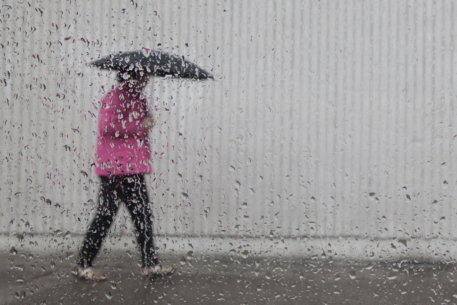
Original post: In an "ordinary" Bay Area winter, there'd be nothing at all remarkable about today's weather. Rain? So what? In fact, confronted by a wet morning in a more typical late February, some among us might be saying, "Enough already. When does spring get here?"
But there's nothing typical, of course, about this dry, dry winter (and yes, when it comes to California's rainy season, variability is the norm). So that's why we'll assume -- feel free to back us up on this -- that aside from the chore of driving in the rain, the arrival of showers throughout the Bay Area this morning is cause for widespread if quiet rejoicing.
National Weather Service forecasters say the greater Bay Area — from the Sonoma-Mendocino county line down through the Salinas Valley, can expect 3 to 5 inches of rain from a series of storms between Wednesday and Saturday. Unlike the series of storms we saw earlier this month, when more than a foot of rain fell on ridgetop locations in Marin, Sonoma and Napa counties, precipitation will be more evenly distributed from north to south. The highest regional rain totals through Sunday, up to 6 inches, are forecast for the Santa Cruz Mountains and the Santa Lucia Range to the south. And the most copious precipitation statewide is expected in Southern California, where some mountain locations could see a foot of rain (or its equivalent in snow) by the end of the weekend.
As for the Sierra snowpack, forecasters say 2 to 3 feet of snow could fall over the higher elevations, with the heaviest amounts coming toward the southern end of the mountain range. The mountain snowpack, a major reservoir for the state's annual water needs, is just 22 percent of normal for this time of year.
As to the question that hangs over any discussion of rain during a drought: How much will the current series of storms help?