upper waypoint

New Interactive Map: How Polluted Is Census Tract Where You Live or Work?

Save ArticleSave Article
Failed to save article

Please try again

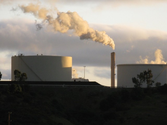
Photo by Craig Miller/KQED

A new map of pollution statewide, put together by the Los Angeles Times, is based on data from the Environmental Protection Agency that allows people to check out census tracts — there are more than 8,000 of them — to see how toxic their home or workplace is. You can navigate by dragging your mouse along or simply by entering an address or ZIP Code in the search box.

The environmental impact index allows people to get very specific. They can find out about diesel particulate matter, drinking water toxicity, ozone concentration and toxic releases into the air.

Here's the draft report upon which the data are based, as well as the L.A. Times story, which notes that the EPA's new approach comes in the wake of heavy criticism for assessing California's environmental hazards only by its 1,800 ZIP Codes.
Sponsored

lower waypoint
next waypoint
Bay Area High School Students Scramble to Find Seats to Take the SAT and ACTEvan Low Advances in Silicon Valley Congressional Race, After Recount Breaks Historic TieCalifornia Housing Is Even Less Affordable Than You Think, UC Berkeley Study SaysPhotos: Campus Protests Grow Across Bay AreaE. Coli Outbreak Linked to Organic Bulk Walnuts Sold in Some Bay Area StoresMay Day Rallies Focus on Palestinian Solidarity in San Francisco, OaklandTunnels Under San Francisco? Inside the Dark, Dangerous World of the SewersAlice Wong Redefines ‘Disability Intimacy’ in New AnthologyUC’s President had a Plan to De-Escalate Protests. How did a Night of Violence Happen at UCLA?Nursing Home Staff Shortages Leave Patients Waiting in Hospitals