upper waypoint

Cyclists and Walkers, the Richmond-San Rafael Bridge Is Now Yours, Too

Save ArticleSave Article
Failed to save article

Please try again

The new bike/pedestrian path on the Richmond-San Rafael Bridge will open Saturday, Nov. 16, 2019.  (Dan Brekke/KQED)

G

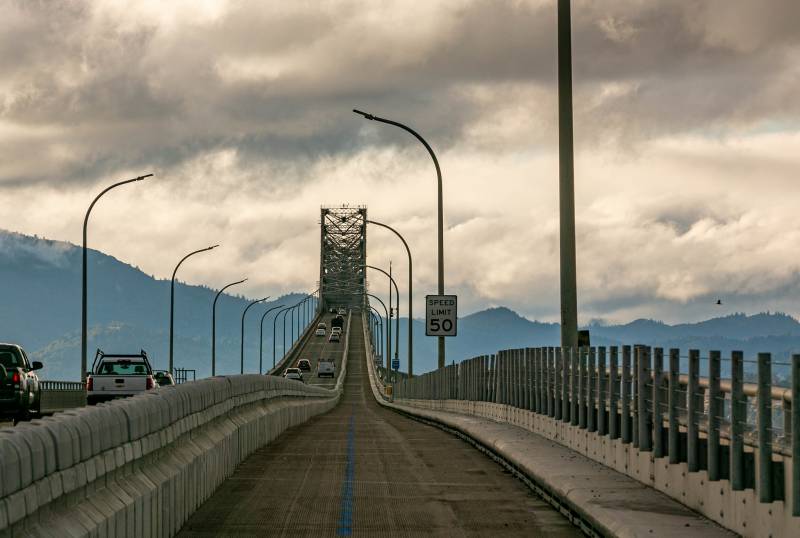
et ready for a little slice of Bay Area transportation history this weekend: A new cycling and walking path across the Richmond-San Rafael Bridge will open to the public Saturday morning. That marks the first time ever, I think, that people will be able to stroll or bike directly between Contra Costa County and Marin County.

So, if you're motivated by history and a first-ever sort of experience, woo-hoo!

But the real reason you should check out the 6-mile path across the bridge is the visual feast on display from the upper deck: from the Bay Bridge to the Golden Gate to the wide expanses of San Pablo Bay, with an amazing vista of Mount Tamalpais and the rest of the northern bay's hills and ridges. You can also get a leisurely, close-up view of the bridge's 1950s-era Erector-set construction and get a chance to take in the span's curves and swoops.

Richmond-San Rafael Bridge

Local dignitaries, transportation officials and bike and trail advocates/enthusiasts will participate in a ribbon-cutting ceremony for the new path will be held near the bridge's toll plaza at 10 a.m. Saturday.

Among the groups participating: Bike East Bay, which is sponsoring a ride to the event from the Richmond BART station. Cyclists will begin to gather there at 9 a.m. and roll out to the bridge at 9:30.

The group has put together an excellent guide on getting to the new bike path, and it has posted a list of the many Saturday morning group rides planned to celebrate the path's opening.

The walking and cycling path is 10 feet wide — it will probably seem a little crowded at points on opening weekend — and is separated from upper-deck motor traffic by a 42-inch-high movable barrier similar to the one installed on the Golden Gate Bridge. That will allow the barrier to be shifted to the right when Caltrans needs to do maintenance. (More on the movable barrier in the rather cool MTC video below.)


The new path, which is officially a four-year pilot project, was financed with funds from the Bay Area Toll Authority. It's part of a project under which a third lane for motor vehicle traffic was restored last year to the Richmond-San Rafael Bridge's lower, eastbound deck.

The total cost of the project: $74 million, including $36 million for restoring the motor vehicle lane and $20 million for the cyclist/pedestrian lane. Caltrans, the Contra Costa Transportation Authority and the Transportation Authority of Marin partnered with BATA on the project.

Sponsored

lower waypoint
next waypoint
California Law Letting Property Owners Split Lots to Build New Homes Is 'Unconstitutional,' Judge RulesAlameda: The Island That Almost Wasn’tJust Days Left to Apply for California Program That Helps Pay for Your First HouseIn Fresno’s Chinatown, High-Speed Rail Sparks Hope and Debate Within ResidentsNPR's Sarah McCammon on Leaving the Evangelical ChurchPro-Palestinian Protests Sweep Bay Area College Campuses Amid Surging National MovementUC Regent John Pérez on the Gaza Protests Roiling College CampusesIs California Headed For Another Tax Revolt?KQED Youth Takeover: We’re Getting a WNBA TeamState Court Upholds Alameda County Tax Measure Yielding Hundreds of Millions for Child Care