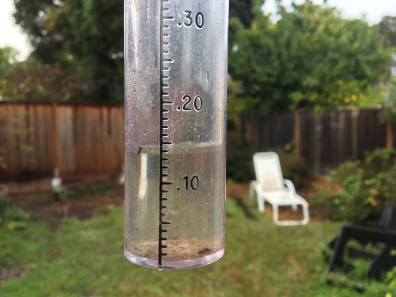
As of 10 a.m. Monday, some East Bay peaks and ridges had received about half an inch. Totals closer to the San Francisco/San Pablo Bay shoreline were lighter, and were generally less than a tenth of an inch. An exception: Berkeley and Oakland both recorded around .15 of an inch.
Here's a list of some notable totals:
Parts of California's northwestern corner got more than an inch of rain. Gasquet, on the Smith River east of Crescent City, got 1.24 inches. Crescent City recorded .73, and Eureka .68. Some parts of the Sierra Nevada foothills near the I-80 corridor got a genuine dumping, with Auburn reporting .95 of an inch, Grass Valley .87 and Blue Canyon .81.
The farthest south precipitation was recorded was Big Sur, which received .04 of an inch.
Aside from the novelty of seeing rain — San Francisco's last measurable precipitation was May 26, some 113 days ago — what's the impact of the mini-storm, and what's the outlook for more wet weather?
The outlook: There is a chance for more rain in Northern California late Tuesday into Wednesday, but the National Weather Service says the highest probability for showers is well to our north. After that, warm, dry and windy weather is forecast later in the week into the weekend.
Fire season: The rain will have only a brief dampening impact on wildfire danger in the region. Seasonal warm, dry weather will dry things out pretty quickly. And our biggest driver of extreme fire risk — the hot, gusty Diablo winds that dramatically increase fire danger and trigger red flag warnings — typically remains a threat at least into the last days of October.
Note that a stretch of the eastern Sierra Nevada south of Lake Tahoe is currently under a red flag warning because of high winds connected with the storm front that passed through the Bay Area on Monday morning.
Snow: The western flank of the Sierra up to the highest peaks and ridges are getting little snow. Not enough to ski on, though, and it probably won't stick around for long.
A rare occurrence? Is September rain in the Bay Area unusual? Not hardly, according to South Bay meteorologist Jan Null, the man who literally wrote the book (a master's thesis, actually) on San Francisco rainfall climatology. In the 170 Septembers in the city's weather record, rain has fallen in about two-thirds of them. Here's his Sunday tweet with the stats: