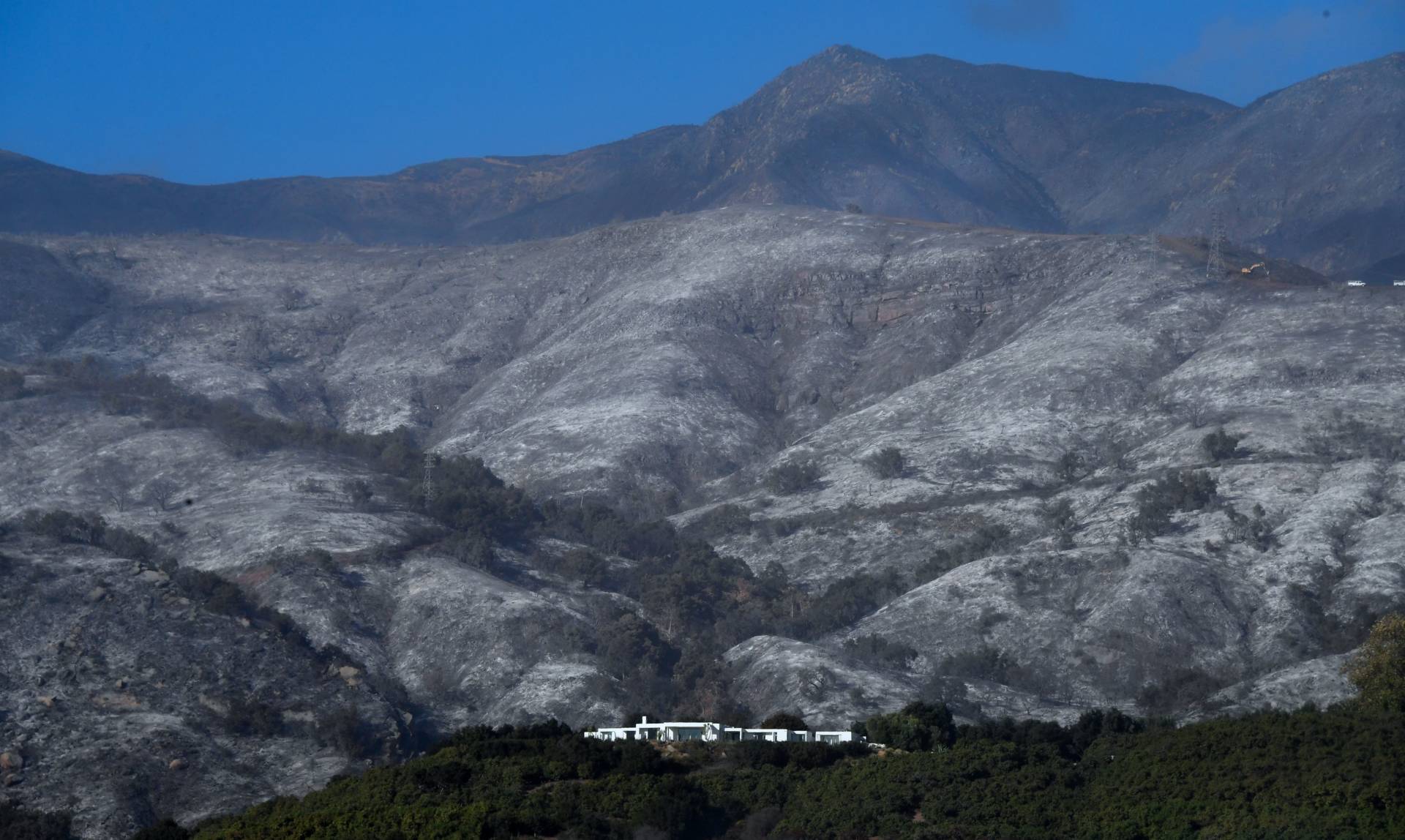
As Lake Oroville filled this week, heading inexorably toward today's spill over a never-before-used emergency release point, one of the many things I couldn't quite get my mind around was: What will it look like?
Now we know. The state Department of Water Resources has provided some excellent images of the unfolding crisis this week, including the drone video at the top of this post, and shots taken today and featured in the photo gallery below.
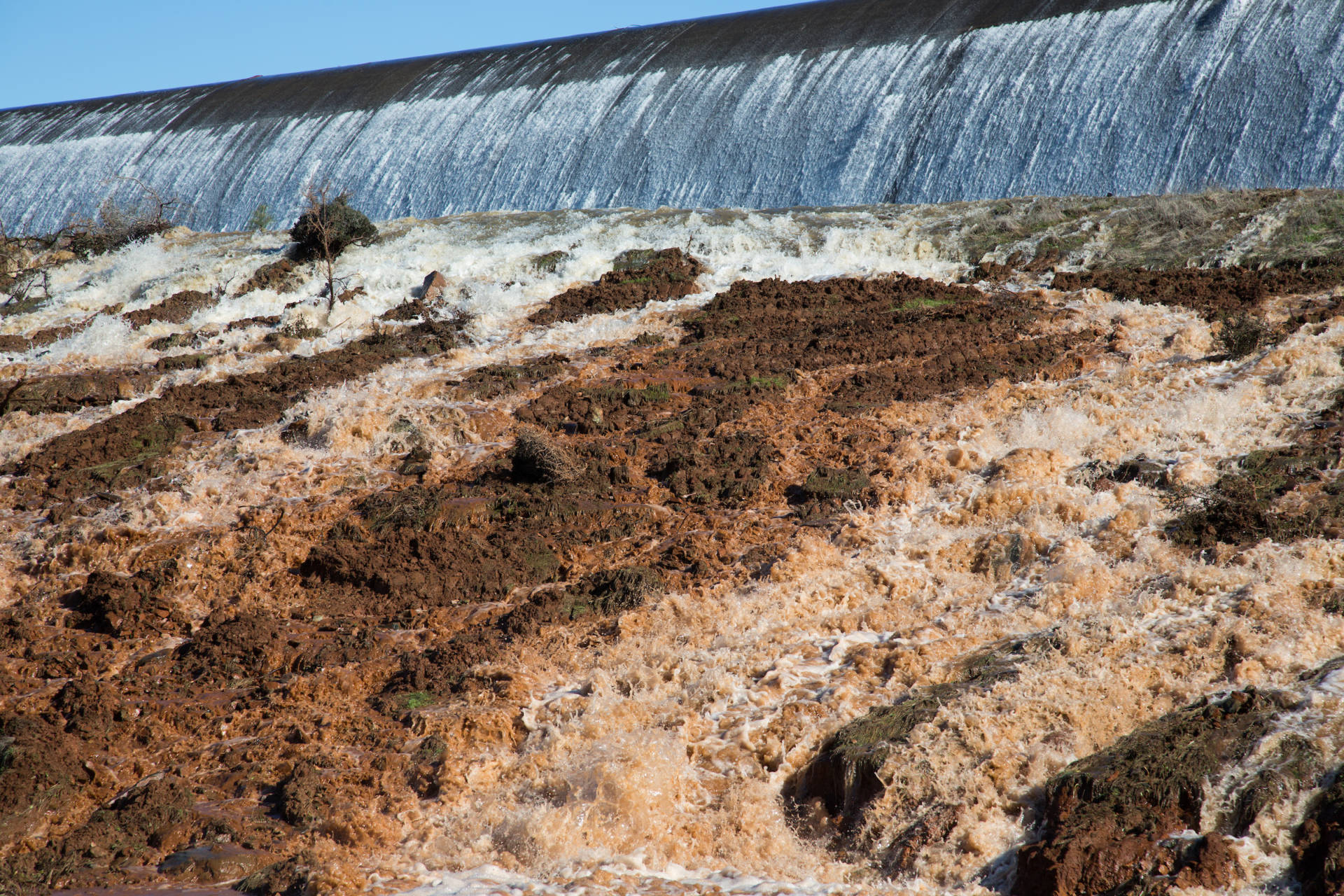
Those pictures portray a more benign reality, though, than the YouTube video below, which shows the effect of the increasing emergency spillway flows as they hit the Thermalito Diversion Pool -- the waterway that carries the spillway flows to the Feather River at Oroville.
DWR officials have talked the past couple of days about the flow of mud and debris that could occur if water came over the emergency weir. Hearing it is one thing. Seeing it another.
(Click on images below to open photo slideshow.)