upper waypoint

Side Trips from Interstate 5: Kettleman Hills

Save ArticleSave Article
Failed to save article

Please try again

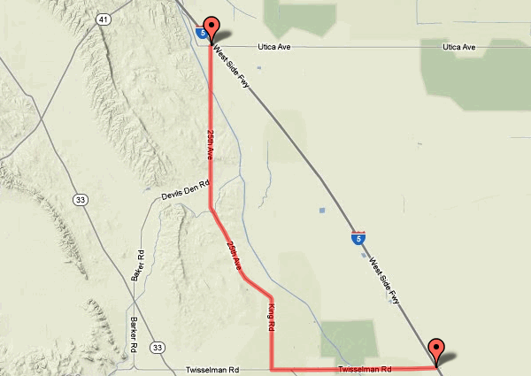
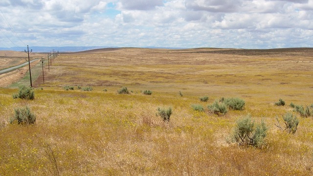
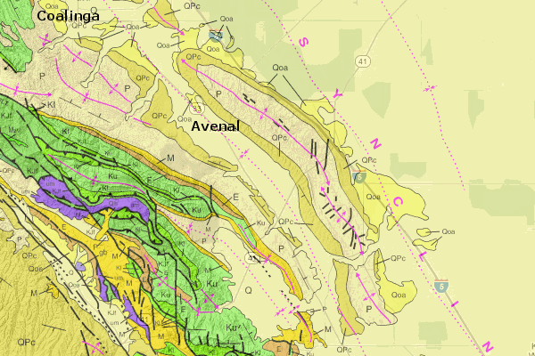
As you head south on I-5 past Coalinga, the road runs just east of a long range of hills. From on high, and on the geologic map, the Kettleman Hills are a dramatic and obvious example of an anticlinal arch. The center is uplifted and dissected by erosion, so that the insides are the older rocks.

kethillsgeomap

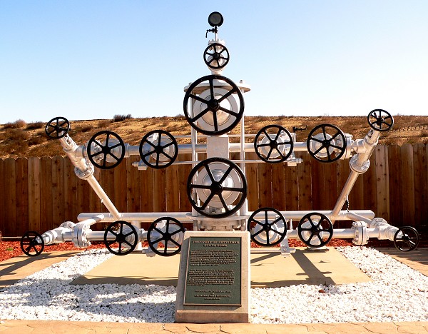
These hills drew the attention of oil drillers early on, but their holes came up dry until October 3rd, 1928, when a well struck a highly overpressured reservoir some 7000 feet down. A gusher resulted that lasted for three years. Oil production from the field was so great that the market was depressed and several other oil-producing states grumbled about the lack of regulation in California.

Massive Christmas tree of well controls used in the Kettleman Hills North Dome oil field
Massive "Christmas tree" of well controls used in the Kettleman Hills North Dome oil field. Photo courtesy {link url="http://www.flickr.com/photos/bilbord99/"}Bill Mulder{/link} of flickr under Creative Commons license

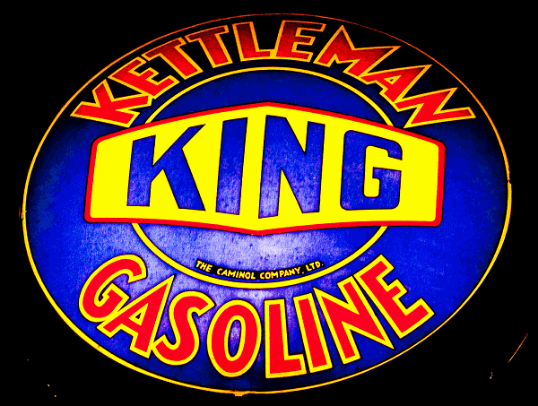
The town of Avenal arose with the oil boom, along with a host of businesses based on petroleum.

This company was later acquired by Beacon.
This company was later acquired by Beacon. Photo courtesy {link url="http://www.flickr.com/photos/thomashawk/"}Thomas Hawk{/link} of Flickr under Creative Commons license

The classic geologic treatment of the Kettleman Hills oil field was issued in 1940 by the U.S. Geological Survey as Professional Paper 195.

Sponsored

Today the field is almost played out, although you can never discount new advances that might revive it. But the hills remain, blooming every spring. And the roadcuts, where you can access them, are still full of fossils.

The sand dollar Dendraster gibbsi
The sand dollar Dendraster gibbsi, 43 millimeters across, from the interior of the Kettleman Hills. Photo courtesy {link url="http://www.flickr.com/photos/jsjgeology/"}James St. John{/link} of Flickr under Creative Commons license

You can cross the hills in three places, two of them busy highways: the Avenal cutoff in the north and state route 41 in the middle. I've tried looking for places to pull over on these roads and it basically shouldn't be done. Take the third way, farther south starting at the Utica Avenue exit; head west and then immediately south on 25th Avenue, taking it all the way to Twisselman Road and back to the freeway.

kethillsroutemap

The edge of the hills is marked by the California Aqueduct, which is always worth contemplating.

Photos by Andrew Alden

There are a few roadcuts worth checking out. They all seem to be full of fossils dating from the Pleistocene, when the Central Valley was an arm of the sea. With the compression of the Coast Ranges, outlying folds in the crust of the San Joaquin Valley were pushed up into anticlines which formed traps for huge amounts of oil and gas.

kethillfossils

Where Devil's Den Road splits off is the gap between the Middle and South Domes of the Kettleman Hills. East of there was the shoreline of Tulare Lake, an inland sea that was drained away long ago by the farms and cities of the Great Valley. Imagine the effect it must have had on the local climate here. This countryside, at its best, is worlds away from I-5.

kethillstop

Remember, the point of a side trip is not to rush—plenty of opportunity for that on the freeway—and be ready to stop and smell the flowers, or at least sniff the breeze.

lower waypoint
next waypoint