
When I pulled in at the Angelo Coast Range Reserve nearly five hours' drive to Mendocino County, I knew I was deep in the woods, but what I saw there told me something more about the place—the outside world is really shut out. A family of deer was feasting from old apple trees as two visiting children and their camera-wielding parents looked on at close range.
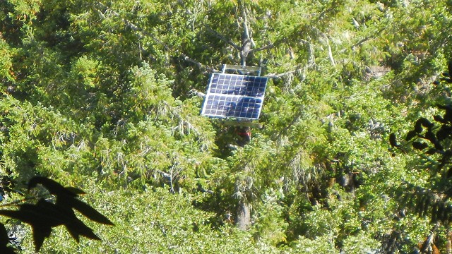
The hills and woods and meadows and streams of Angelo aren't quite like your average piece of back country: the Coast Range hills are drilled with wells and probes, the Douglas-fir and oak-madrone woods are wirelessly networked, the river-terrace meadows are dotted with flags and sensors, and the South Fork Eel River holds experimental nets and cages as well as aquatic life. The Angelo Reserve is a stage for 21st-century research that turns the very outdoors into a scientific laboratory. And it's just one of 38 such stages in the UC Natural Reserve System that sample nearly all of California's biomes.
I was at Angelo with a group of science writers to hear about some of the research projects going on. While the University of California runs it, the Reserve System serves many institutions. At Angelo, for instance, the U.S. Geological Survey has a stream-gauge station on Elder Creek, a National Natural Landmark.

The heart of the reserve is the South Fork Eel River, part of the large Eel River watershed. The river not only provides salmon habitat, but also is California's largest sediment provider to the Pacific after the Bay Area. Biologists can tinker with all the ecological variables they can handle, from the members of the food web to the nutrients in the water. They can erect shades to restrict sunlight or screens to keep out predators, and they can add and subtract sediments from the streambed. And the untouched riverbanks minimize pollution and other distortions from human activities. UC Berkeley professor Mary Power described some of the intricate trials her group has been carrying out in the Eel River.


