
The Sunol Regional Wilderness, part of the East Bay Regional Park District, is a great place for many different students of nature and lovers of the outdoors. Here's how it looks to geology aficionados.
The park is near the village of Sunol, south of where state route 84 meets Interstate 680. As you approach the park on Calaveras Road, you are driving pretty much directly on the Calaveras fault, which stretches from the Hollister area north past Pleasanton. It's due east of Fremont, behind Mission and Monument Peaks. That set of mountains is a splinter of crustal rocks raised by the interaction of the Calaveras and Hayward faults on either side.
The park's bedrock geology is a mixture of relatively young marine sandstone and metamorphic rocks of the much older Franciscan Complex (map from USGS OF96-252).

The area, like the rest of the Bay Area, has a complex and continuing history of uplift and erosion and sideways movement on our major strike-slip faults. There are occasional bedrock terraces like this one that mark previous levels of Alameda Creek, at times when it had the leisure to cut its streambed wide into the surrounding hills.

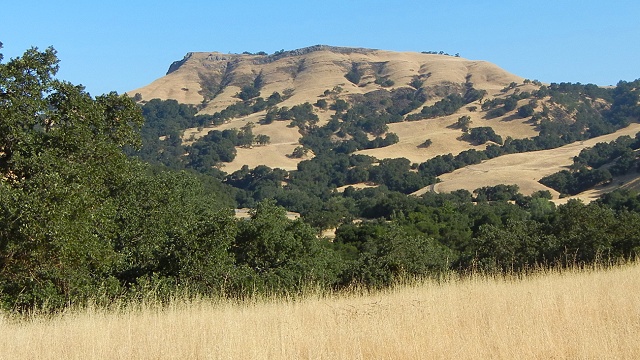
The eastern part of the park is archetypical Franciscan melange country, like that found up and down the Diablo Range. Melange is an intimate mixture of sandstone, basalt, chert and serpentinite, the four major Franciscan rock types. The land it underlies is an intricate set of slopes and peaks, laced with old and young landslide scars and dotted with "knockers" of resistant rock.

Some of the complexity underneath can be seen in this detailed geologic map prepared by Franciscan specialist John Wakabayashi of Cal State Fresno (from a 2011 Powerpoint presentation).

Serpentinite and related high-grade metamorphic rocks thread through the land like the dark in a marble cake. The photo doesn't do justice to the blue of the serpentinite in this exposure.

If you take yourself off the trail into these hills, watch for snakes and poison oak, but also be on the lookout for beauties like this garnet amphibolite among the knockers. It's just as blue as new jeans. (Admire it, but don't hammer it. Collecting is forbidden in all parks.)
