These days, most people in the San Francisco Bay Area arrange their daily lives around the clock. But in former times it was the sun, moon and tides that governed the rhythm of our days. Nowadays the sun and moon attract notice only on the rare occasions when they have eclipses. But the tides still matter.
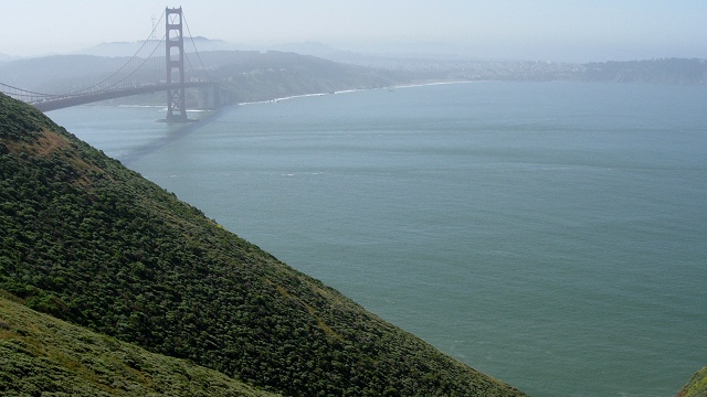
The twice-daily ebb and flow of the tides is not just a factor for ships navigating the San Francisco Bay shallows, although that is important. The tides are how the Bay breathes. The Bay's windpipe is the Golden Gate, a deep channel that enables seawater to spread nutrients and oxygenation to its lungs—wetlands as far away as the Central Valley. In turn, sediment from nearly half of California's surface area is exhaled to the Pacific where it piles up in a great furrowed berm just off the Golden Gate.
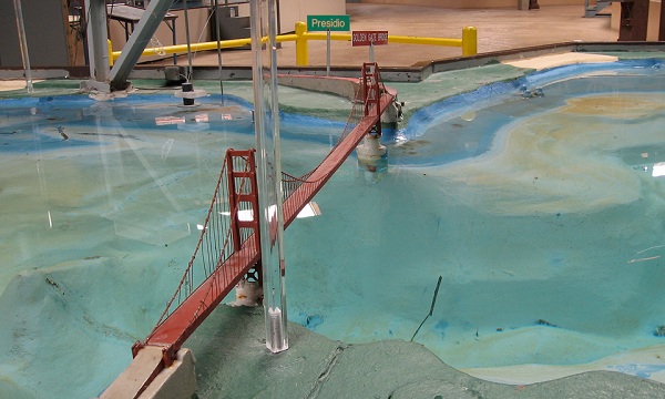
Tides arise from the interactions of the sun and moon with our planet; they are where the heavens most truly move the Earth. While mariners always had a good sense of the patterns of the tides, it took science to make them predictable. When Isaac Newton first grasped that the motions of heaven and Earth fit the same mathematical laws, in the mid-1600s, he saw that one very practical application would be in precisely describing—in modern terms, modeling—the tides.
Newton's tantalizing task is considered fairly well solved today, but it has taken centuries to arrive at this point. (Wikipedia has a good introduction.) Today Bay Area tides are monitored and forecasted by the National Oceanographic and Atmospheric Administration; NOAA's Tides and Currents website will serve you official tide data for many stations (like San Francisco's station at Crissy Field).
But even the most exacting mathematics gives us only a partial picture. Weather and climate both matter, too. As weather fronts and storms and winds impinge on the Bay's water, they can change the tides by as much as two feet. Semi-annual climatic cycles like El Niños add their slower influence. And sea-level rise adds its inexorable direction over the scale of a lifetime. For the best view of the day's exact coastal conditions, I look to surfers and the surf-forecast.com site. The tide is important for beach geologizers, too.

