
Tiny shelled marine organisms called foraminifera can provide clues about earthquake occurrence in the past—and the future. Photo: UCMP.
It feels like the world is still shaking from the earthquake and ensuing tsunami that hit northern Japan on Friday. The 8.9 magnitude quake created enormous waves of water, which moved quickly through the ocean and hit the coast of Japan with waves that in some areas were over 10 feet high. This animation shows how earthquakes give rise to tsunamis. When tsunamis hit shore, they can carry with them sediment that they’ve picked up from the bottom of the ocean. This sediment differs from the sediment close to shore, leaving a long-term record of the tsunami’s occurrence.
Paleontologists can look at the layers of sediment along the coast and see records of past tsunamis. They can also see that before tsunamis occur, the land along the coast often starts to subside, as one tectonic plate slips underneath another. The clue that tells paleontologists that the coastline tilts before an earthquake is a group of tiny marine organisms, called foraminifera. By studying these organisms in the sediment along the shore of the West Coast, scientists can learn how frequently tsunamis occurred here in the past, and whether we can predict a big quake in the future.
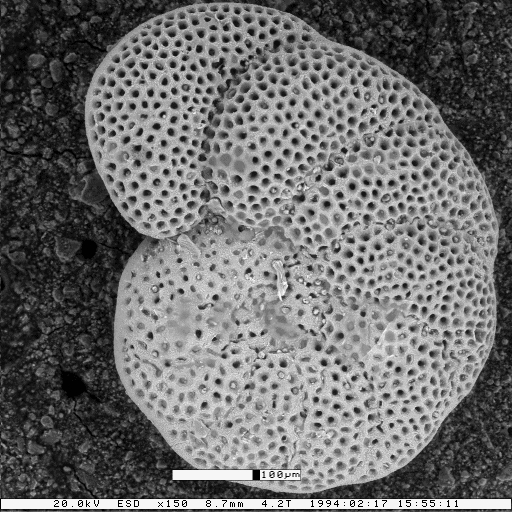
The tiny marine organisms in the sediment are called foraminifera, or forams for short. They are protists—neither animals nor plants, protists are a grab bag of simple organisms that includes amoebas, seaweeds, and single-celled algae. Forams are unicellular, and they build a shell, called a test, out of calcium carbonate. The test has little opening from which pseudopods—thin strands of the cell’s cytoplasm—protrude. The pseudopods help the forams move around. However, it is the calcium carbonate tests that make forams so useful as records of geological events.
The tests of foraminifera are often well preserved in marine sediment, as fossils. Forams evolve relatively quickly, so micropaleontologists (folks who study tiny fossils) can determine the age of the sediment by identifying the species of foram that is preserved. Also, each species of foram can survive only in a narrow range of environmental conditions. If the water is too salty, a given species can’t survive; if the water is too fresh, that species won’t survive either. The salinity of the water has to be just right. This means that micropaleontologists can use foram fossils to estimate the salinity of the water in the past. (For similar reasons, forams are also good indicators of the proximity of oil deposits, and a good proxy for past climates.)