Three neighborhoods in San Francisco pose the highest risk to bicyclists because of distracted driving.
The most hazardous interections and corridors are located in the Panhandle/Lower Haight, South of Market and Upper Mission/Duboce Triangle, according to a new report released Monday.
Zendrive, a San Francisco analytics startup, arrived at that conclusion by relying on data from sensors on drivers' smartphones. It joined forces with Human, an activity tracker that provided data about areas with lots of bicycling activity.
The result: maps that show the scariest parts of town for anyone on two wheels.
For the last six months, Zendrive tracked 1,100 drivers -- including regular motorists, taxicab drivers and ride-service drivers -- over 37,500 miles across the city. Here's what the company said about distracted driving:
"Every second a driver is looking at their phone instead of the road means dozens and even hundreds of feet traveled without attention to surroundings. (At a high city driving speed like 30mph, even a single second spent looking at the phone means a driver has gone 44 feet without looking at the road!) Unfortunately, these episodes can be fatal for cyclists and pedestrians. So even if a car isn't speeding in regards to the speed limit, using a phone while going 30mph is a more dangerous type of distraction than using a phone while rolling into a stop sign."
Zendrive also produced a Top 10 list of the most harrowing hot spots:
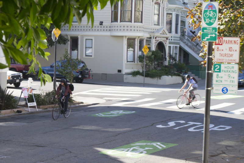
- Duboce Triangle: Church Street from 15th to Market Street; Duboce Avenue and Sanchez Street; Duboce Avenue and Valencia Street.
- South of Market/Mission: Duboce Avenue/13th Street from Folsom to Bryant Streets; 10th Street from Mission to Folsom streets; Eighth Street from Howard to Harrison streets; the Brannan and Division interchange; Folsom Street from Seventh to 14th streets.
- Panhandle/Lower Haight; Fell Street from Broderick to the JFK curve; Oak Street from the Panhandle to Scott Street.
Bicyling magazine's 2014 review of the 50 bike-friendliest cities in the United States ranked San Francisco as seventh -- moving up one spot from its rank two years earlier.