Little noticed in the rest of California on Aug. 12, lightning strikes ignited several fires in the mountains along the Klamath River and just south of the Oregon border. It's country with a history of burning. Earlier in the summer, lightning-sparked fires swept across the region's vast forests, devouring a total of about 100,000 acres. Since 1999, those forests in Siskiyou and Trinity counties have been the scene of three of the biggest fires in state history.
The blazes that started on Aug. 12 near the town of Happy Camp began spreading across a landscape suffering through a historic drought. Daily temperatures in the 90s and consistently low humidity helped create the perfect conditions for the fires to grow. The fire burned in remote, relatively inaccessible and very rough terrain. With all those ingredients in place, the fires, which federal fire managers named the Happy Camp Complex, began their march through Klamath National Forest.
As of today -- Friday, Sept. 26 -- the main fire in the complex has burned 132,000 acres. That's about 210 square miles and roughly five times the land area of San Francisco. That makes it California's 16th-biggest fire in terms of area burned since the 1930s. After six weeks and the season's first significant rain, the fire is nearly 100 percent contained.
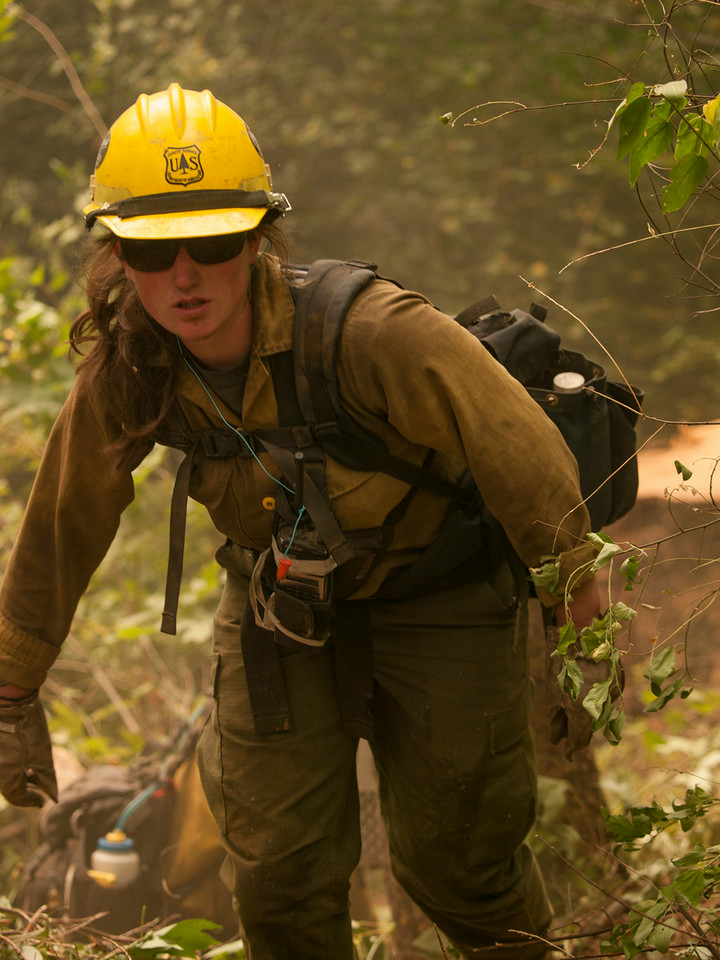
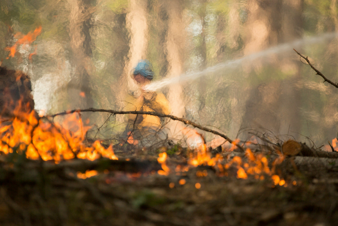
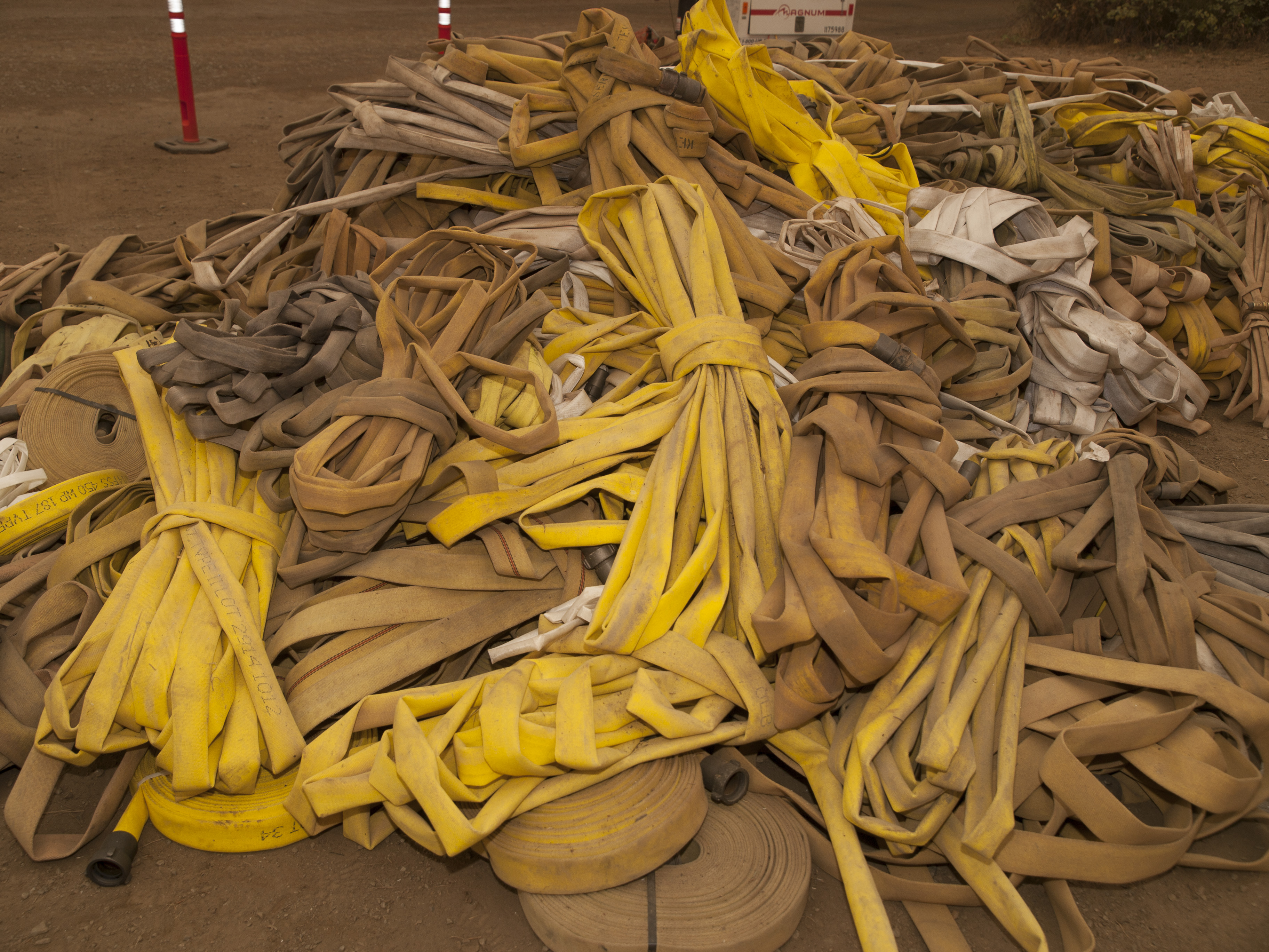
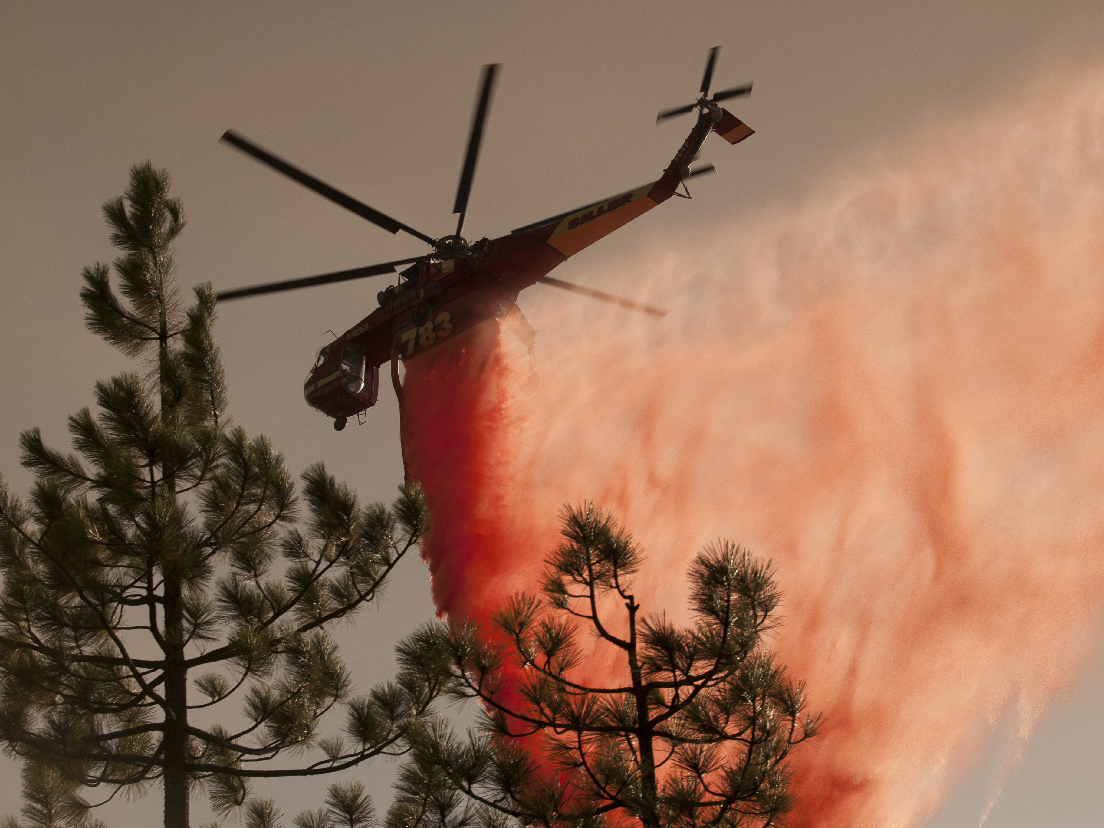
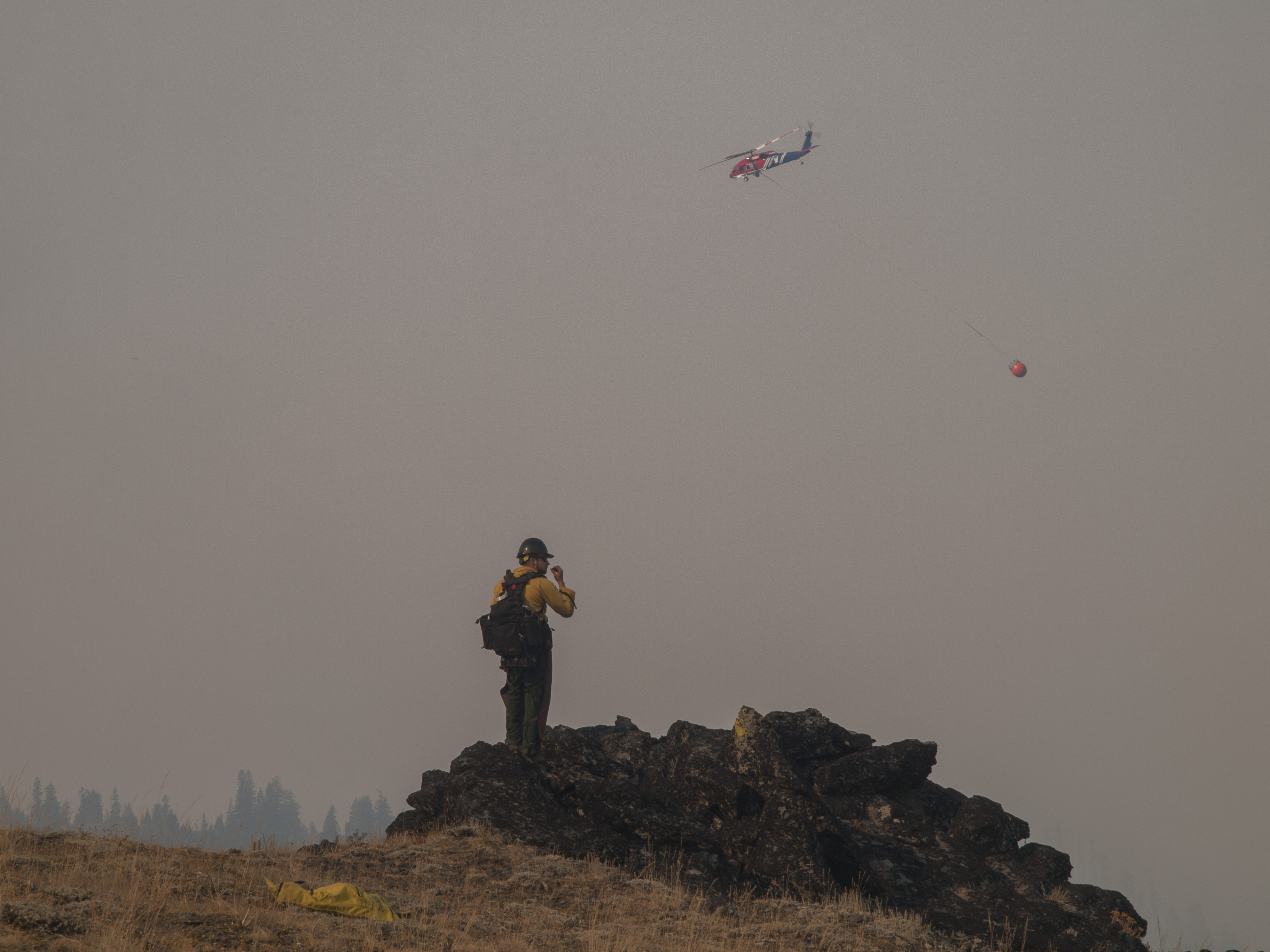
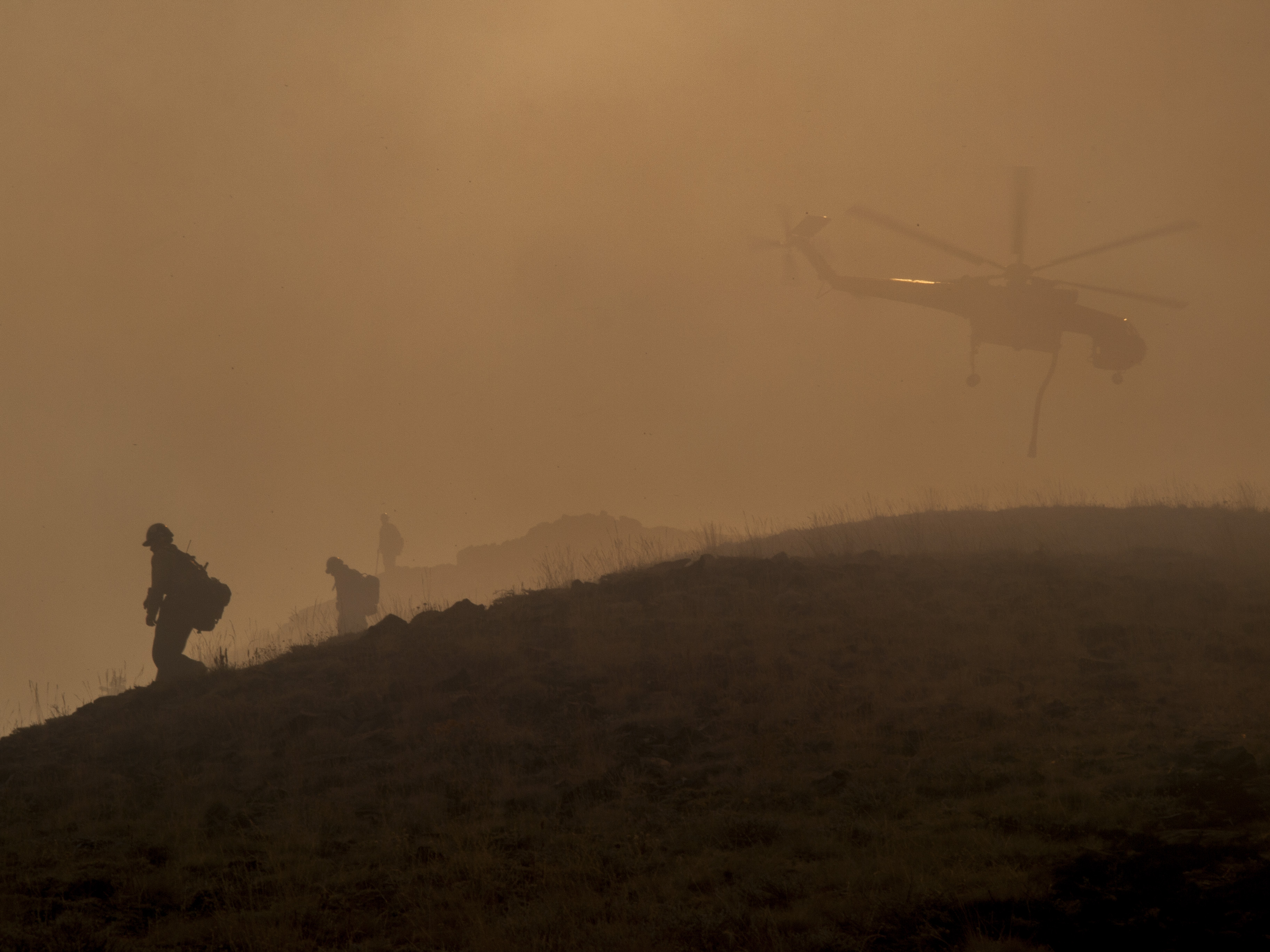
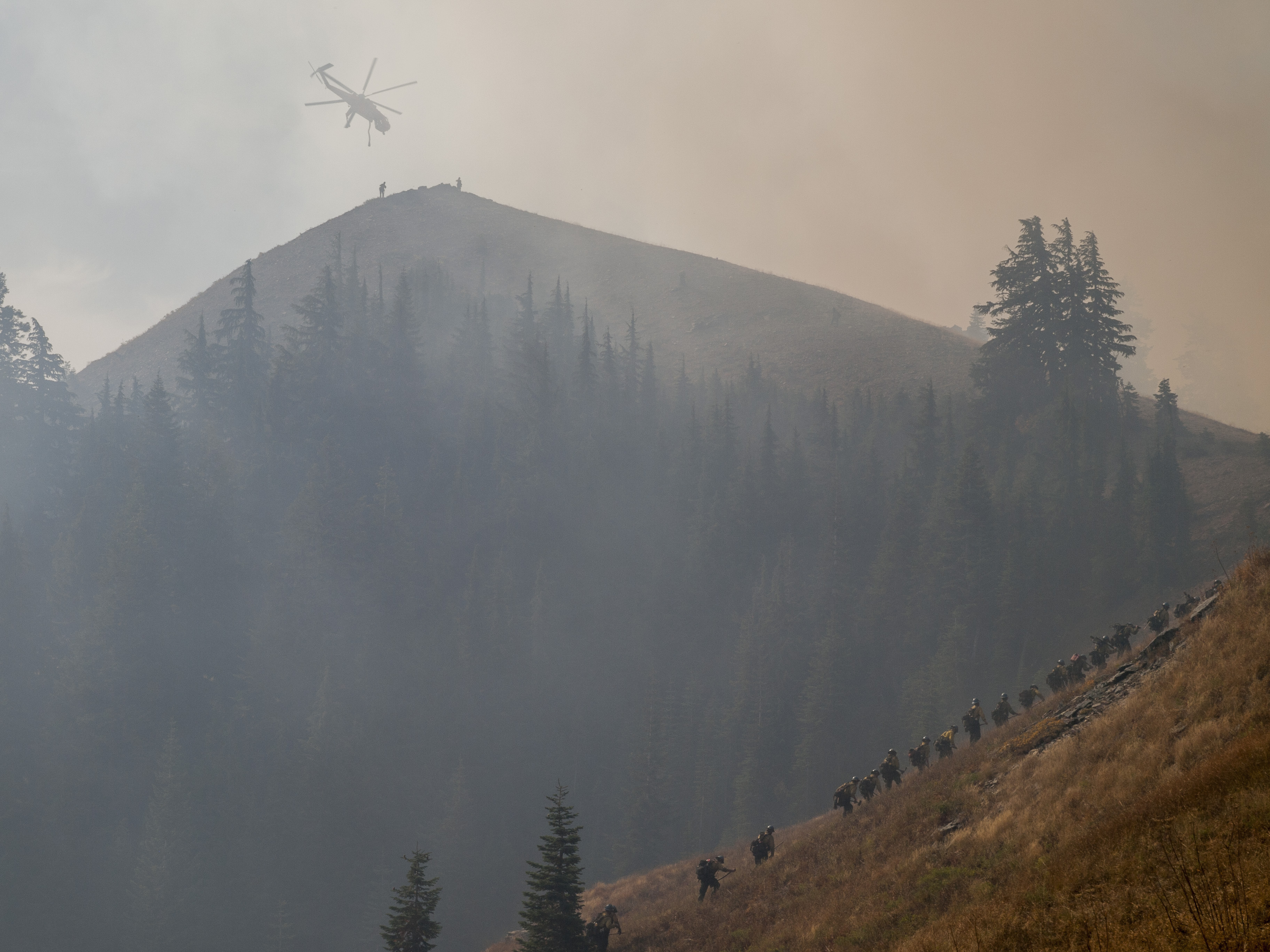
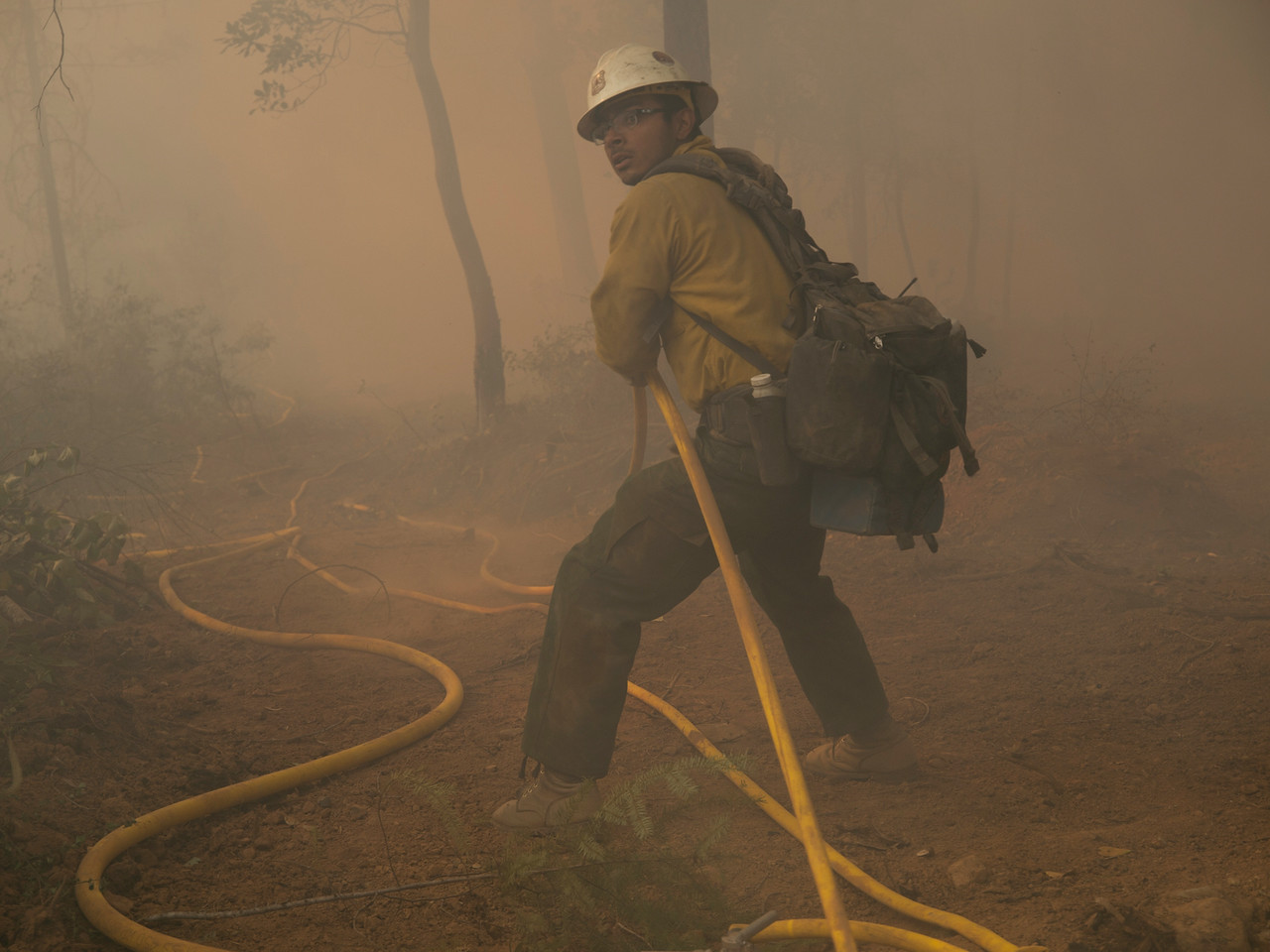
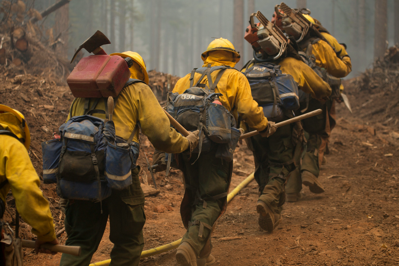
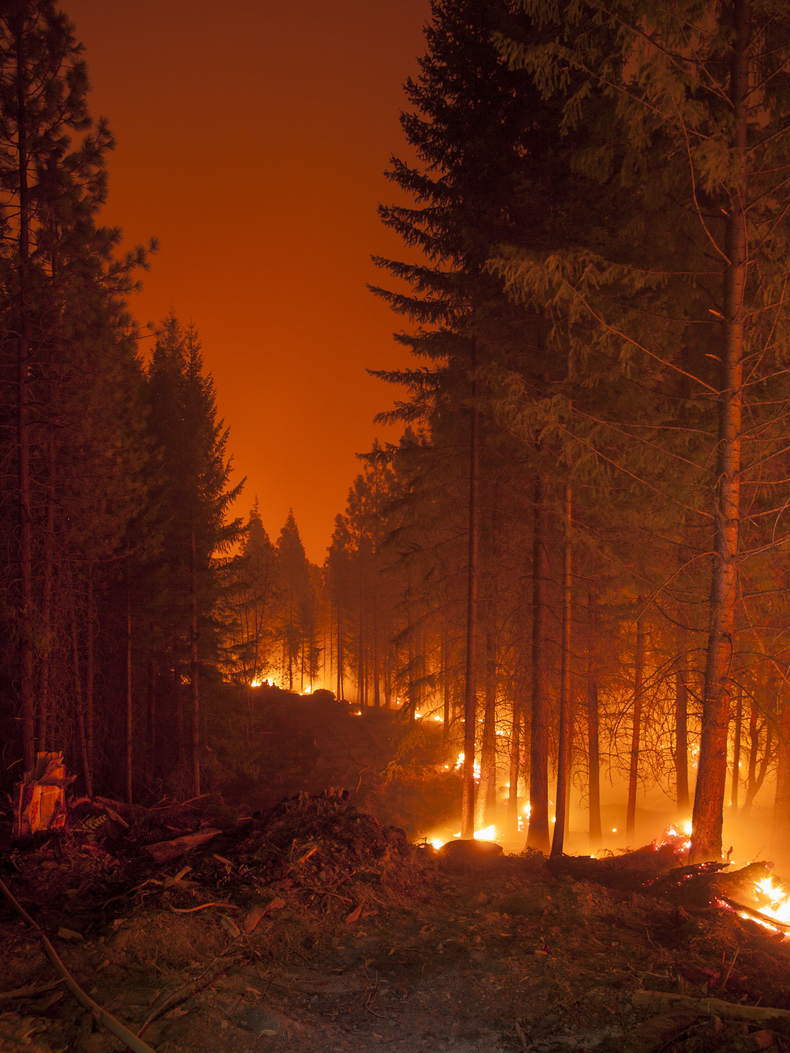
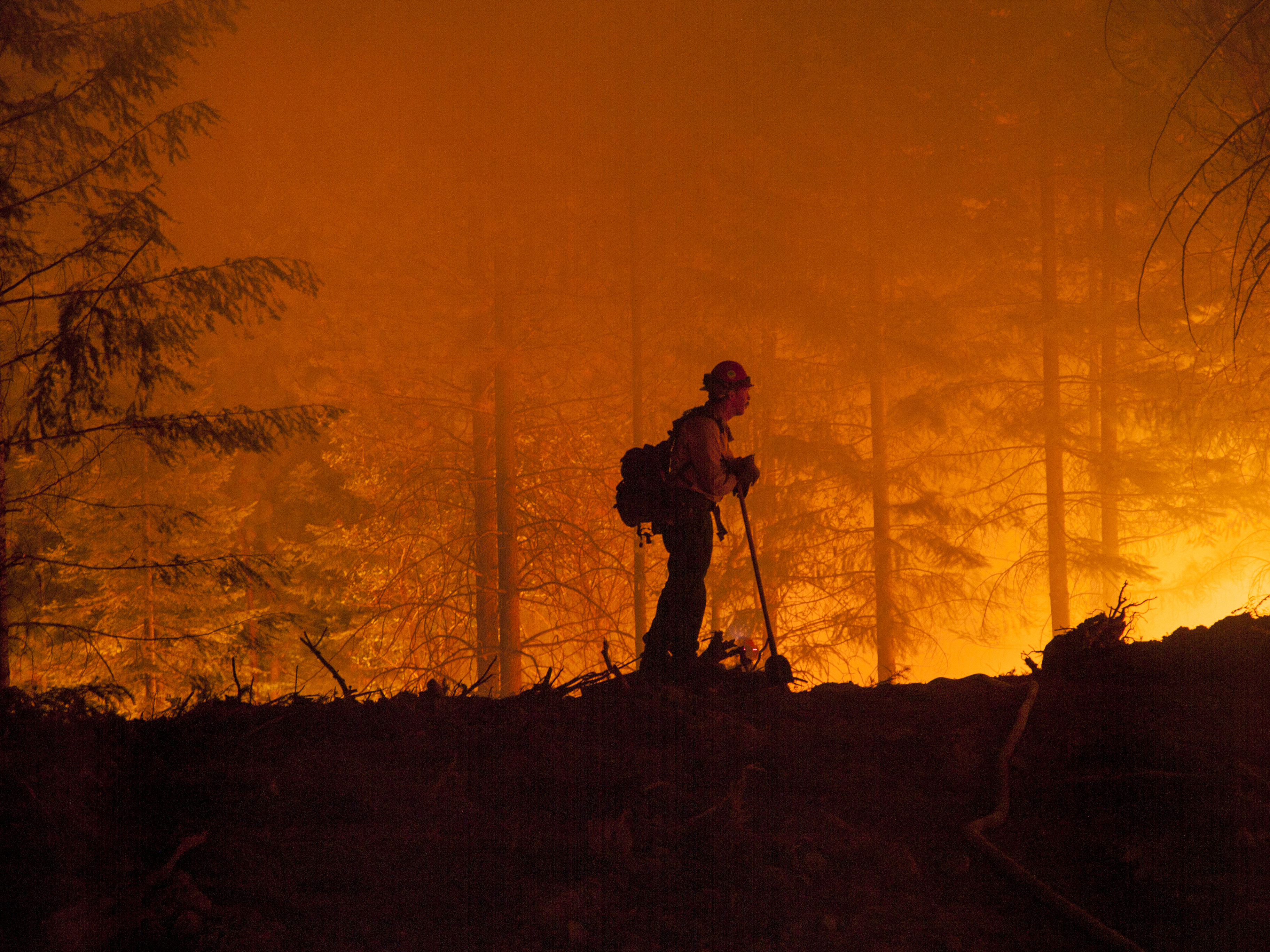
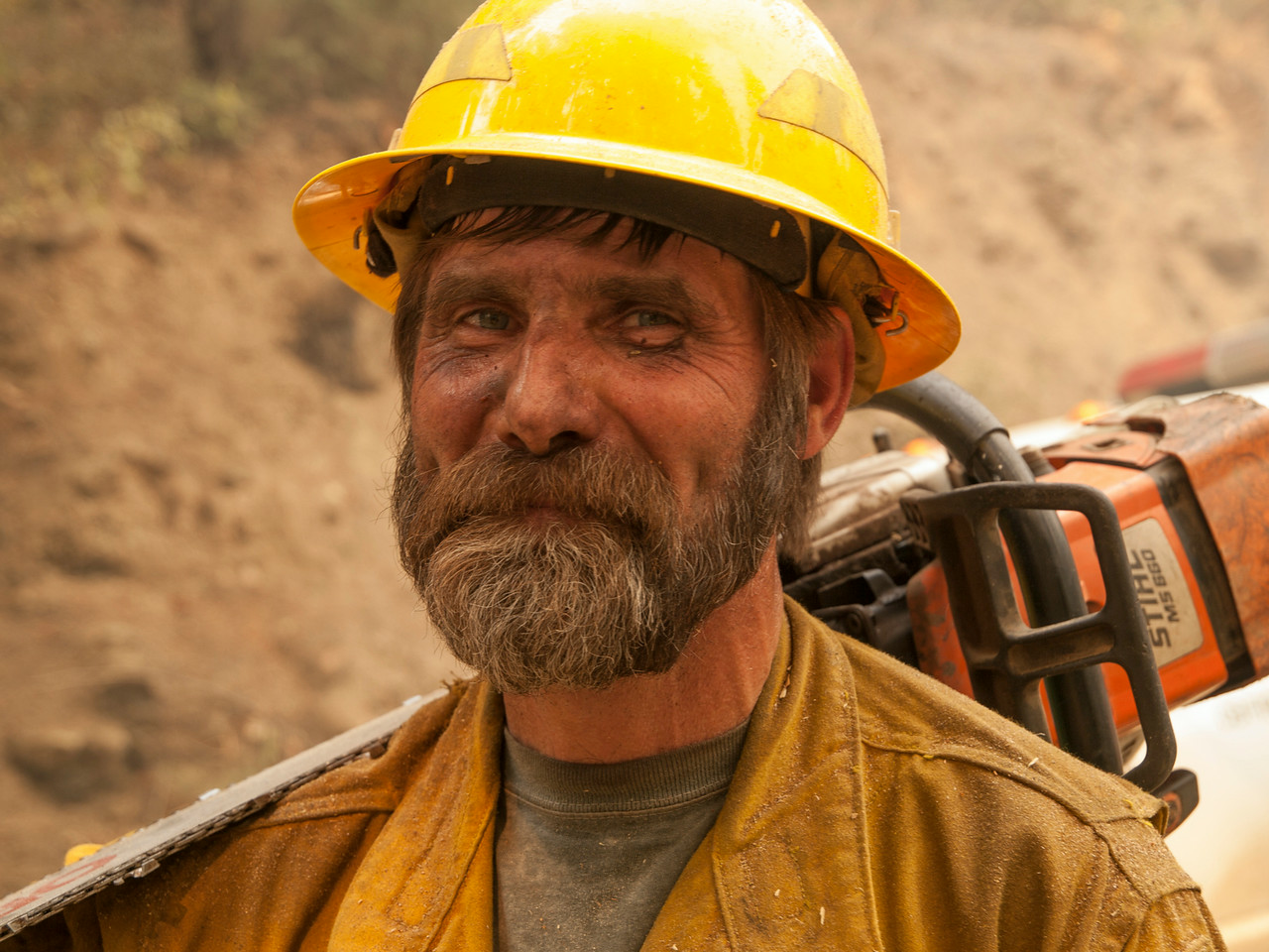
We've been following the fire from afar, especially during the weeks when it threatened hundreds of homes in the sparsely settled country along the Klamath and Scott rivers. One person who saw the fire close-up was freelance photographer Kari Greer. She spent weeks embedded with fire crews fighting the Happy Camp Complex, and the pictures here are a small selection of the chronicle she's posted at her own online gallery.
(Note: All images here are used by permission. You can click on each image for a larger version.)