The National Weather Service posted a flash flood watch for the entire Bay Area through this afternoon. While the heaviest rain is expected to move through the region by late morning, the potential for showers and thunderstorms will continue through most of the day.
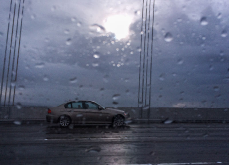
The storm features winds gusting up to 40 mph, especially on the region's hilltops and ridges and along the coast. Caltrans has posted high wind advisories for Bay Area toll bridges.
Update, 7:30 a.m. Tuesday: The main impulse of Northern California's second storm of 2016 blew through the region before dawn Tuesday, dumping about 3 inches of rain in the mountains/hills north and south of San Francisco Bay. But except for the all-too-predictable snarled traffic -- the California Highway Patrol reported dozens of collisions and widely scattered highway flooding -- the storm passed without causing major disruptions.
Occasional bouts of rain are expected through Tuesday evening, with a brief break before the next weather system arrives early Wednesday. More rain is expected each day through the end of the week, with relatively weak storms moving through quickly Thursday and late Friday.
If you like this sort of thing -- and it's your duty as a resident of drought-stricken California to embrace the rain -- you're in luck. Forecasters say weather models show two or three more storms are in store for next week.
The rainiest locales early Tuesday included Venado, the reliably sopping-wet hill location west of Healdsburg in Sonoma County, which recorded 3.20 inches in the 12 hours ended at 7 a.m. Ben Lomond, in the Santa Cruz Mountains, got 2.83 inches. Rainfall in lower elevations has generally ranged between half an inch and 1 inch, though San Rafael got 1.67 inches and Novato 1.30 inches.
The areas burned by Lake County's big summer fires also saw heavy overnight rainfall, including nearly 2 inches on Cobb Mountain. The National Weather Service posted a flash flood watch for much of the county overnight, but so far there have been no reports of significant flooding or debris flows there despite the inundation.
Update, 10 a.m. Monday: We will declare the departing weather system a really punky excuse for a storm. The only locations in the surrounding region to record an inch or more of rain in the 24 hours ending at 9 a.m. Monday were in or adjacent to the Valley Fire burn area in Lake County and at one recording station in the mountains along the Big Sur coast.
Closer to the central Bay Area, totals were much more modest, ranging from just .01 of an inch at San Jose International Airport to two-thirds of an inch in the mountains of northern Sonoma County.
The National Weather Service says we should not be fooled by the effete performance of the Sunday-Monday storm, first of a series of Pacific weather systems expected through this weekend. The NWS Bay Area office in Monterey says a much more potent storm will barge into northern Sonoma County late Monday and intensify as it moves over the San Francisco area Tuesday morning. The forecast calls for moderate to heavy rain and blustery winds to make it to the central Bay Area and South Bay in time for the morning commute.
Expect more of the same Wednesday, as Storm Three arrives with rain that's expected to continue into Thursday. A dry day Friday is forecast, to be followed by more rain on Saturday.
Original post Saturday, Jan. 2: Hey, Bay Area, here's what's coming at you in the next few days: a series of storms that promises to bring a healthy dose of rain to communities throughout the Bay Area, another soaking to the coastal mountains north and south of San Francisco Bay and more snow to the Sierra Nevada.
The first two storms in that series are depicted above: one looming just off the West Coast, a second huge comma-shaped system in the north central Pacific.
Forecasters say rain will begin Sunday along most of the coast from northern Sonoma County down through Monterey Bay. Except for the Sonoma and Marin hills and the Santa Cruz Mountains, which could get an inch or more through Monday, most areas around the region will see a half-inch of rain or less.
A bigger storm is on tap for Tuesday and Wednesday, with an inch or two of rain in the immediate Bay Area and 2 inches or more in the region's highlands. And finally, another possibly potent storm will roll in Thursday and Friday. By the end of the workweek, many lowland locations around the bay will have picked up more than 2 inches of rain, while the wettest hill locales will have registered 6 inches or more.