upper waypoint
Members of a Cal Fire crew take a break Saturday as the Rocky Fire continued to spread through the countryside east of Clear Lake.  Justin Sullivan/Getty Images
Members of a Cal Fire crew take a break Saturday as the Rocky Fire continued to spread through the countryside east of Clear Lake.  (Justin Sullivan/Getty Images)

California Wildfire Portrait: The Rocky Fire, Lake County

California Wildfire Portrait: The Rocky Fire, Lake County

Save ArticleSave Article
Failed to save article

Please try again

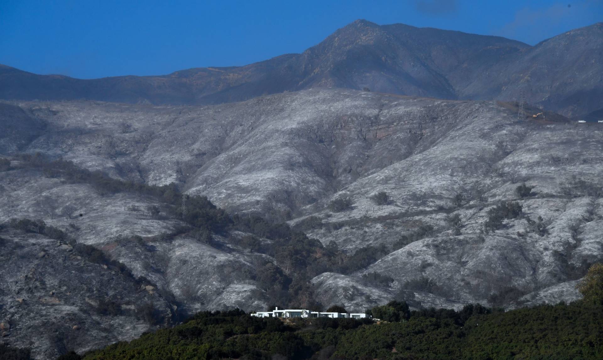
Among the dozens of fires burning across California right now, the Rocky Fire, burning southeast of Clear Lake -- about 80 miles north of San Francisco -- is the largest and most dangerous. Local officials warned thousands of residents of two towns, Lower Lake and Clearlake, that they should be ready to evacuate. The fire had burned about 60,000 acres -- 94 square miles -- as of Monday morning and was only 12 percent contained. Fire crews from around the Bay Area and across the state are part of the fight, focusing largely on protecting structures the fire threatens.


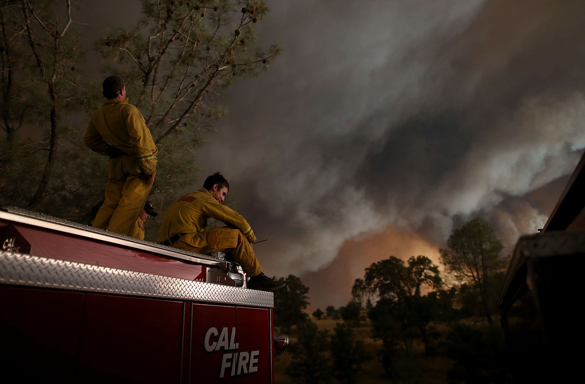
Photographers Justin Sullivan of Getty Images and Josh Edelson of Agence France-Presse have been documenting the fire and filed the images in the gallery below.

Sponsored

lower waypoint
next waypoint
Bay Area High School Students Scramble to Find Seats to Take the SAT and ACTEvan Low Advances in Silicon Valley Congressional Race, After Recount Breaks Historic TiePhotos: Campus Protests Grow Across Bay AreaE. Coli Outbreak Linked to Organic Bulk Walnuts Sold in Some Bay Area StoresMay Day Rallies Focus on Palestinian Solidarity in San Francisco, OaklandCalifornia Housing Is Even Less Affordable Than You Think, UC Berkeley Study SaysAlice Wong Redefines ‘Disability Intimacy’ in New AnthologyNursing Home Staff Shortages Leave Patients Waiting in HospitalsTunnels Under San Francisco? Inside the Dark, Dangerous World of the SewersViolence Breaks Out At UCLA Encampment